Skip to main content
Menu
Menu
Home
Free newsletter
Shop
Explore
Add new...
What's new
FAQs
About
Gwulo menu for header
Show — Gwulo menu for header
Hide — Gwulo menu for header
Home
What's new
Gwulo
Old Hong Kong
Photos tagged:
map
Primary tabs
View
Books
Events
Organisations
Pages
People
Photos
Places (map)
Places (list)
Streets (map)
Timelines
Items per page
25
100
- All -
Year
Title
1950s
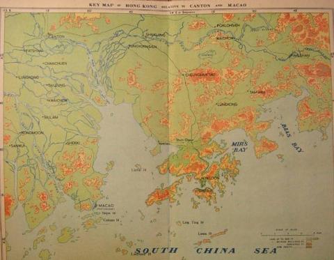
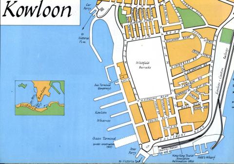
1950s Map Of Hong Kong (Relative to Canton and Macao)
1950s
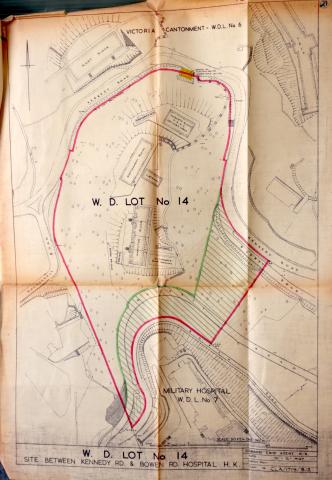
WDL14_HKRS156-1-11657.JPG
1950s
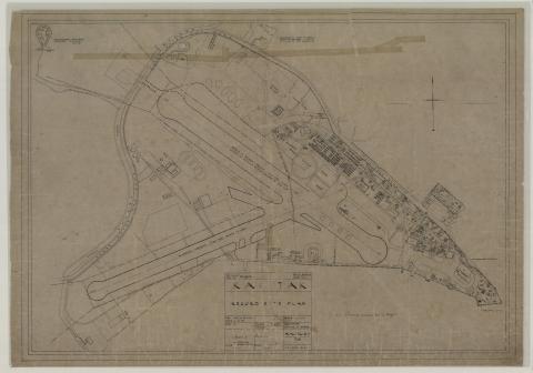
HKRS913-1-360.jpg
1950s
The long-forgotten Foot Paths to the HKU main campus
1960
TST map 1960_febr_detail
1960
Sea Terminal-location Navy Street
1960
Yee Wo Street map 1960
1960
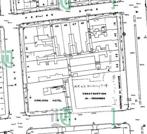
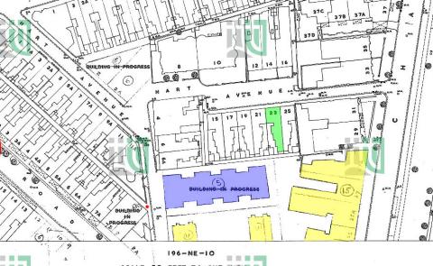
1:600 196-NE-6 (Ed 1960-02)
1961
1961 1:600 Minden Row School
1961
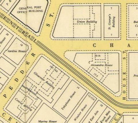
1961 Map of Buildings between Ice House St and Pedder St
1962
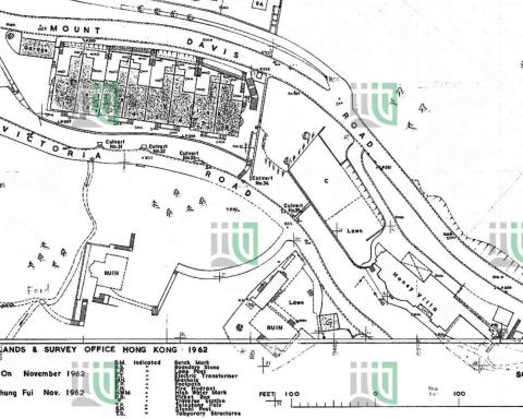
1962 1-600 212-NW-4 showing Blarney Stone
1962
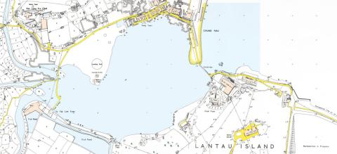
1962 Map of Silvermine Bay
1962
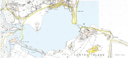
c1962 mui wo lantau island map
1963
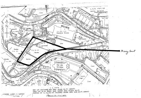
Map of Seymour & Robinson Roads
1963
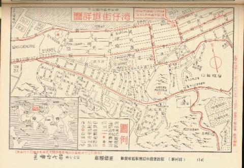
Map of Wan Chai in 1963 (Chinese Version)
1963
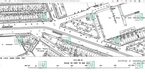
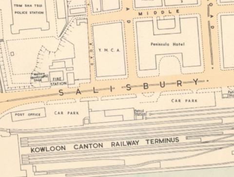
1963 map of TST
1963
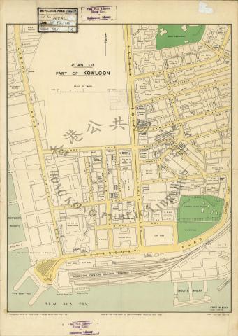
1963 Map of Tsim Sha Tsui
1963
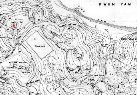
1963.5 HK Maps crop Kwun Yam Wan houses
1964
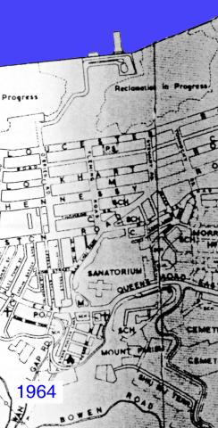
Wanchai 1964
1964
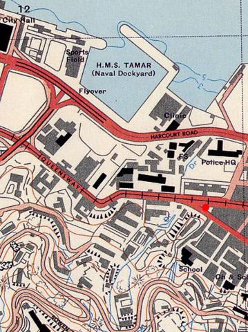
Admiralty, 1964
1964
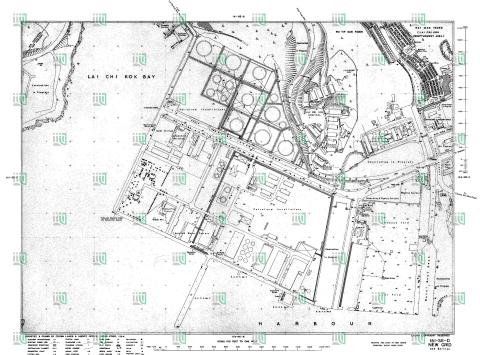
Lai Chi Kok map 1964
1965
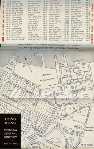
1960s Map of Central
1965
1965 north point map
1965
1965 homan tin new village map
1965
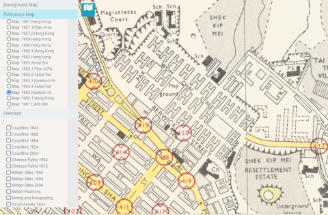
1965 shek kip mei map
Pagination
First page
« First
Previous page
‹‹
…
Page
15
Page
16
Page
17
Page
18
Page
19
…
Next page
››
Last page
Last »