Skip to main content
Menu
Menu
Home
Free newsletter
Shop
Explore
Add new...
What's new
FAQs
About
Gwulo menu for header
Show — Gwulo menu for header
Hide — Gwulo menu for header
Home
What's new
Gwulo
Old Hong Kong
Cart Flyout
Photos tagged:
map
Primary tabs
View
Books
Events
Organisations
Pages
People
Photos
(active tab)
Places (map)
Places (list)
Streets (map)
Timelines
Items per page
25
100
- All -
Year
Title
Sort ascending
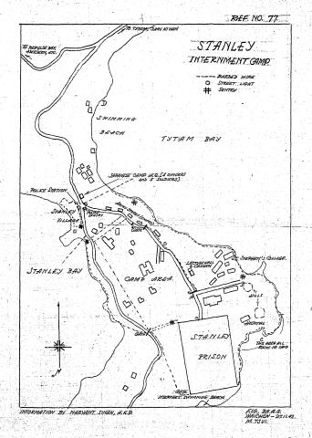
1942
Map of Stanley Civilian Internment Camp
2015
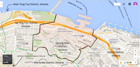
Map of Sheung Wan District, Victoria, Hong Kong
2015
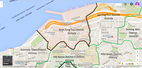
Map of Shek Tong Tsui District, Victoria, Hong Kong
1963
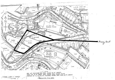
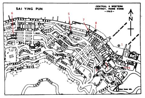
Map of Seymour & Robinson Roads
1939
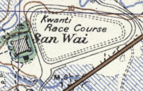
Map of San Wai
2015
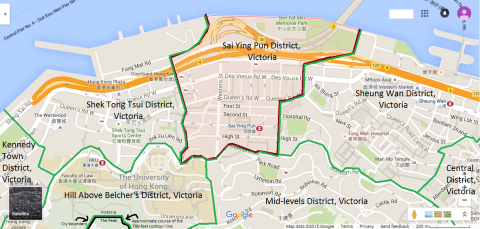
Map of Sai Ying Pun District, Victoria, Hong Kong
2016
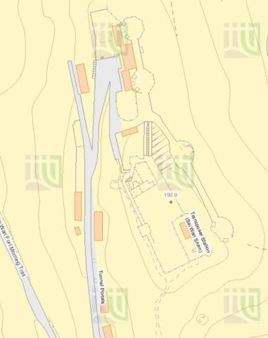
Map of Sai Wan Hill Battery & Redoubt
1903
Map of Peak Road
????
Map of past sites of the Harbour Office
1920
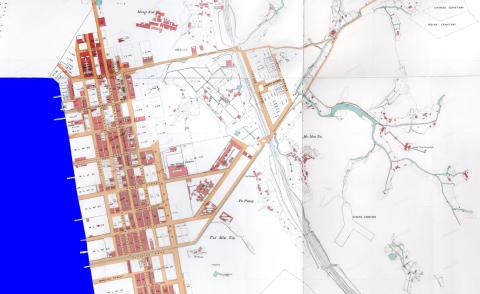
Map of Mong Kok in 1920
2015
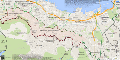
Map of Mid-levels District, Victoria, Hong Kong
2010s
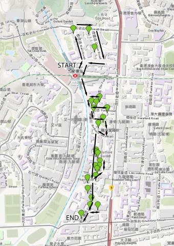
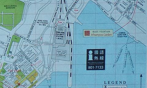
Map of Kowloon Tong walking route
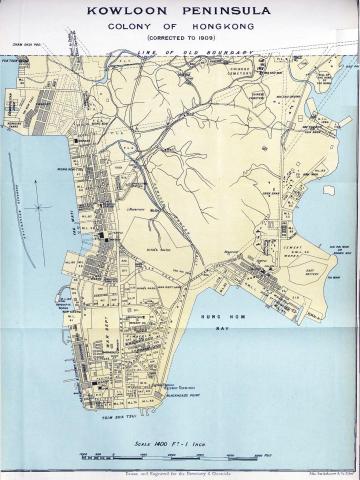
1909
Map of Kowloon Peninsula - 1909
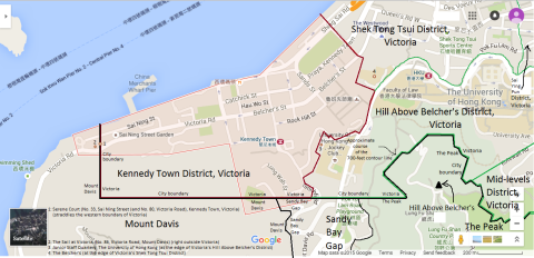
2015
Map of Kennedy Town District, Victoria, Hong Kong
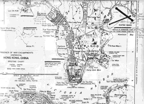
1945
Map of Japanese P.O.W. Camps in Hong Kong, March 1945
1920s
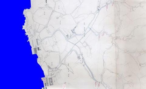
Map of Hung Hom in 1920
1896
Map of Hung Hom in 1896
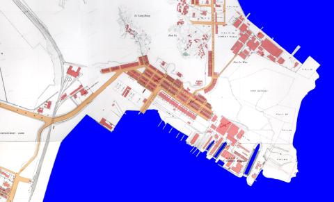
1990s
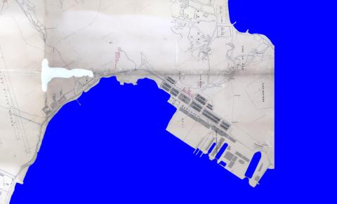
Map of Hung Hom Bay about 1990
1898
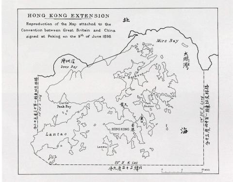
Map of Hong Kong in The Convention for the Extension of Hong Kong Territory in 1898
1888
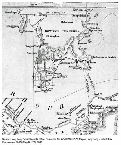
Map of Hong Kong - with British Kowloon (ca. 1888)
1920s
Map of Ho Mun Tin in 1920
1896
Map of Ho Mun Tin in 1896
2015
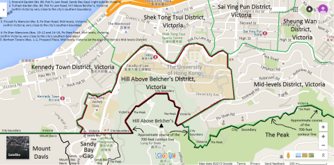
Map of Hill Above Belcher's District, Victoria, Hong Kong
2015
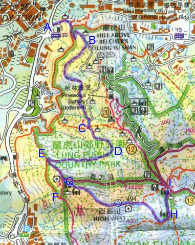
Map of High West
1897
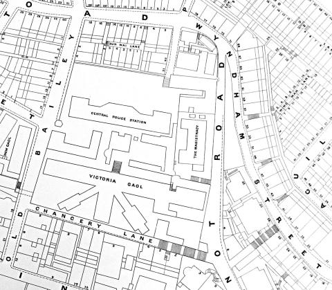
Map of CPS + Wyndham Street
Pagination
First page
« First
Previous page
‹‹
…
Page
4
Page
5
Current page
6
Page
7
Page
8
…
Next page
››
Last page
Last »