Photos tagged: map
| Year | Title Sort descending |
|---|---|
| ???? | Tutorial 05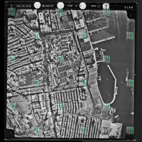
|
| ???? | Tutorial 3
|
| 1928 | Vehicular Ferry Pier Central: Plan 1928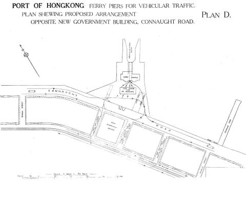
|
| 1937 | Victoria Battery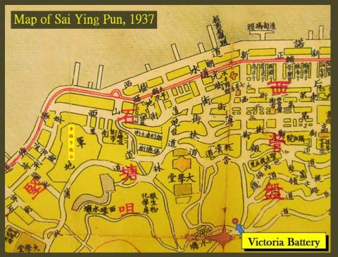
|
| 1930s | Victoria Battery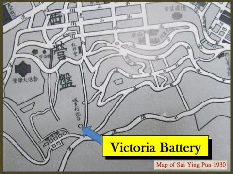
|
| 1930s | Victoria Battery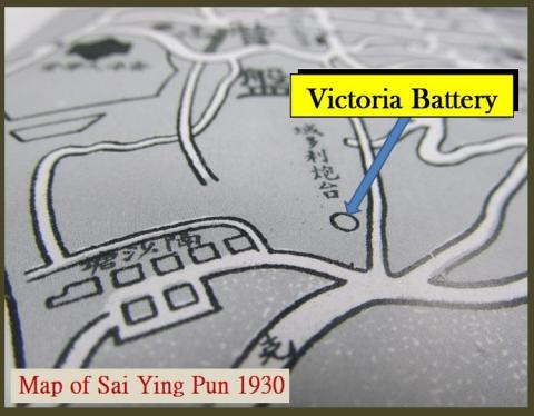
|
| 1882 | Victoria Harbour Waterfront 1882.jpeg
|
| 1873 | Victoria Harbour-Plan 0f 1873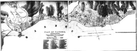
|
| 2015 | Victoria's western boundary cuts through Serene Court.png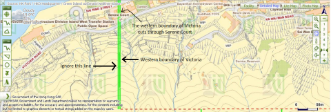
|
| 1866 | Victoria-Harbour - map of 1866
|
| 1889 | Wanchai 1889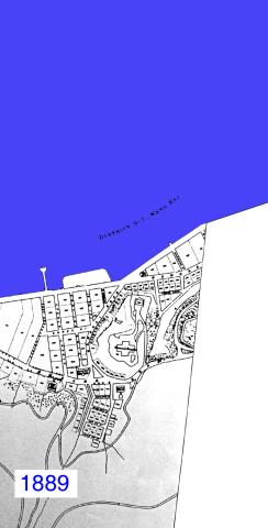
|
| 1931 | Wanchai 1931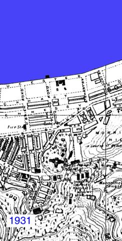
|
| 1946 | Wanchai 1946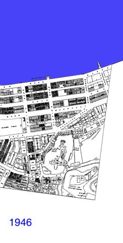
|
| 1964 | Wanchai 1964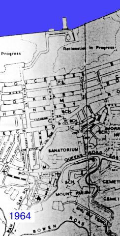
|
| 1990s | Wanchai 1990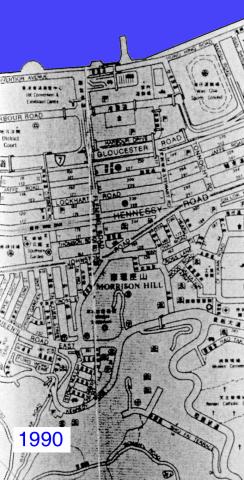
|
| 1913 | Wanchai Lot Map 1913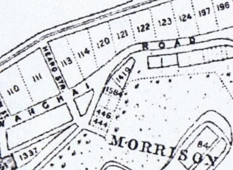
|
| 1880s | Wanchai map 1880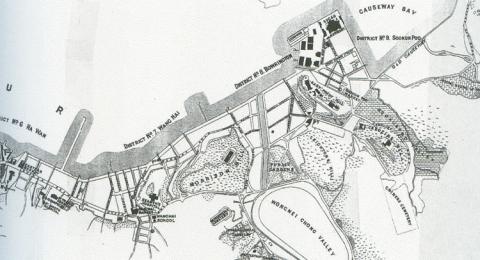
|
| 1913 | Wanchai map_1913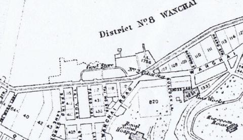
|
| 1957 | Wanchai Road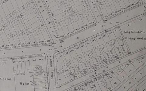
|
| 2015 | Western boundary of Victoria and previosuly-predicted location of the boundary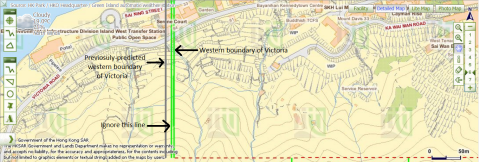
|
| 2020 | Wong Chuk Shan map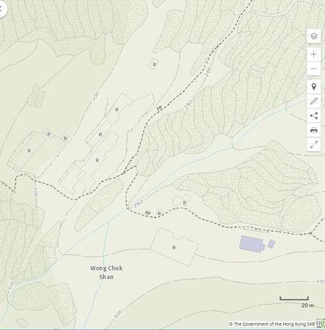
|
| 1920s | Yau Ma Tei landmarks
|
| ???? | Yau Ma Tei reclamation
|
| 1960 | Yee Wo Street map 1960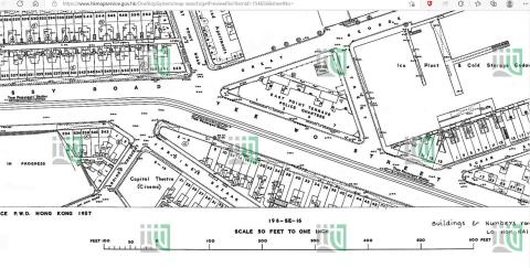
|
| ???? | YMCA Bridges Street 1922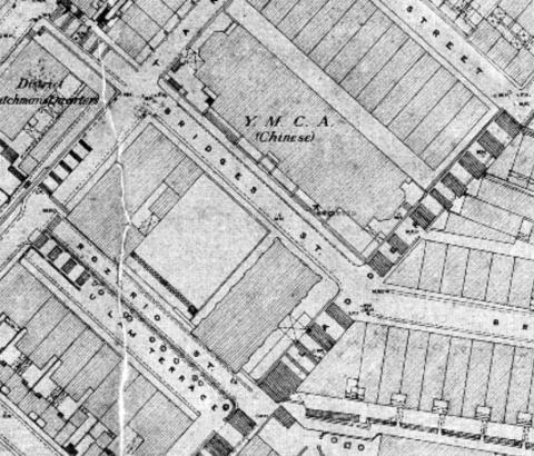
|