Skip to main content
Menu
Menu
Home
Free newsletter
Shop
Explore
Add new...
What's new
FAQs
About
Gwulo menu for header
Show — Gwulo menu for header
Hide — Gwulo menu for header
Home
What's new
Gwulo
Old Hong Kong
Photos tagged:
New Territories
Primary tabs
View
Books
Events
Organisations
Pages
People
Photos
Places (map)
Places (list)
Streets (map)
Timelines
Items per page
25
100
- All -
Year
Title
1897
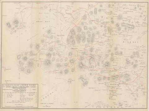
1897 Tourist Map of China and Soon to be New Territories
1898
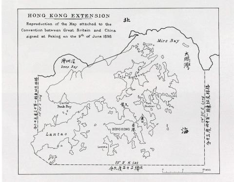
Map of Hong Kong in The Convention for the Extension of Hong Kong Territory in 1898
1899
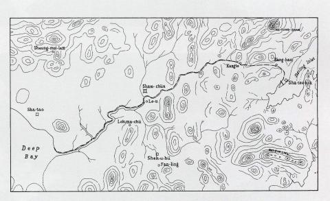
Detailed map of the boundary for the Extension of Hong Kong Territory in 1899
1899
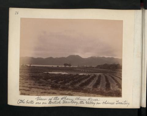
View of the Sham Chun River (The hills are on British Territory, the valley on chinese Territory)
1899
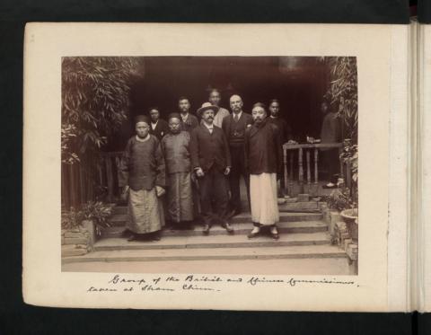
Group of the British and Chinese Commissioners, taken at Sham Chun.
1899
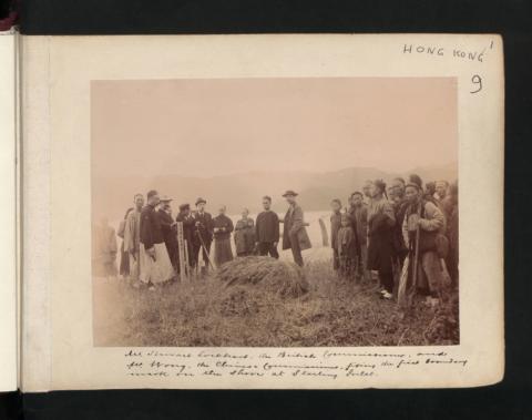
Mr Stewart Lockhart, the British Commissioner, and Mr Wong, the Chinese Commissioner, fixing the first boundary mark in the shore at Starling Inlet.
1899
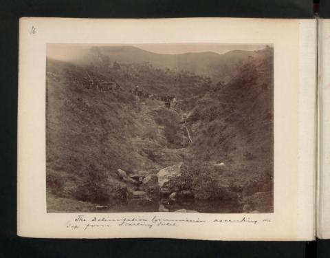
The Delimitation Commission ascending the Gap from Starling Inlet.
1899
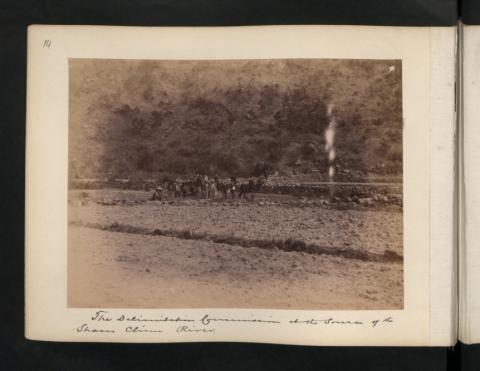
The Delimitation Commission at the source of the Sham Chun River.
1899
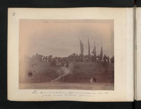
The Delimitation Commissioner at the ferry near Sham Chun.
1899
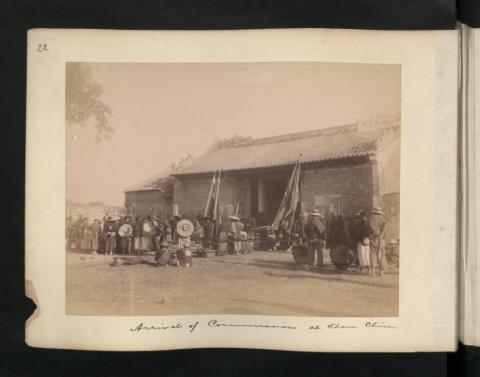
Arrival of Commissioner at Sham Chun
1899
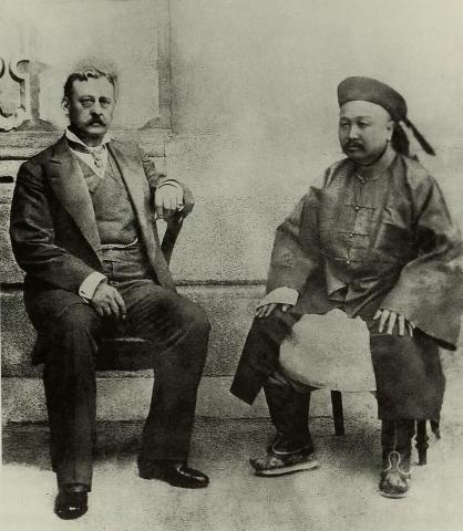
Governor Sir Henry Arthur Blake and the Viceroy of Guangdong
1899
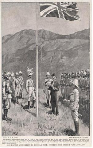
Flag hoisting ceremony at Tai Po 1899
1899
1899-08-02_Meeting_at_Tai_Po_Market
1899
1899-08-02_Meeting_at_Tai_Po_Market (2)
1899
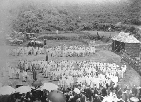
Meeting at Ping Shan between Sir Henry Blake and the gentry and elders of the New Territories communities
1899
Sir Henry Blake at the Ancestral Hall of Tang Clan in Ping Shan 1899
1901
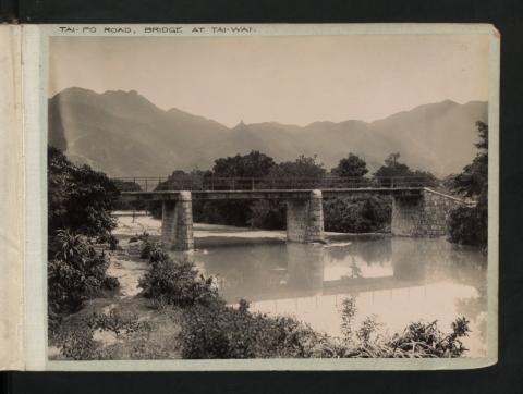
Tai-Po Road, Bridge at Tai-Wai.
1902
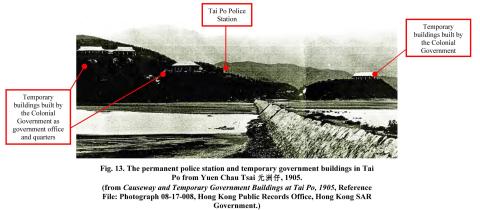
tai po police station and temporary buildings
1933
1933-3-5.jpg
1935
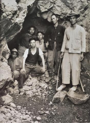
Chinese workers posing at the entrance to their mine
1935
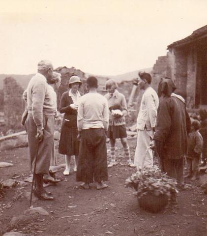
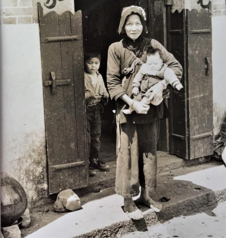
Chinese peasant woman holding a child in the New Territories
1935
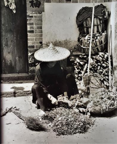
Threshing crops - New Territories
1930s
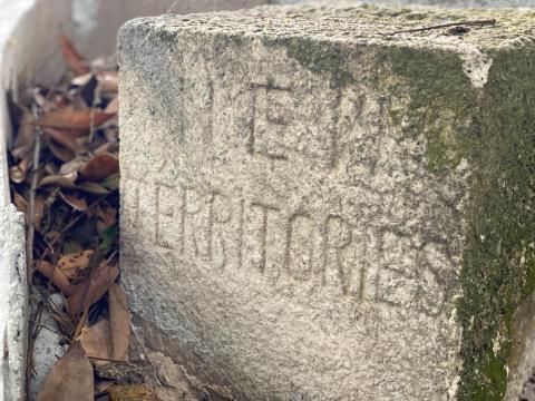
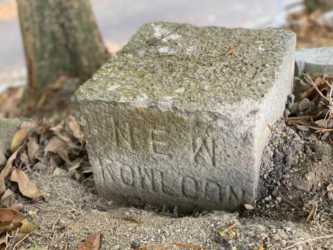
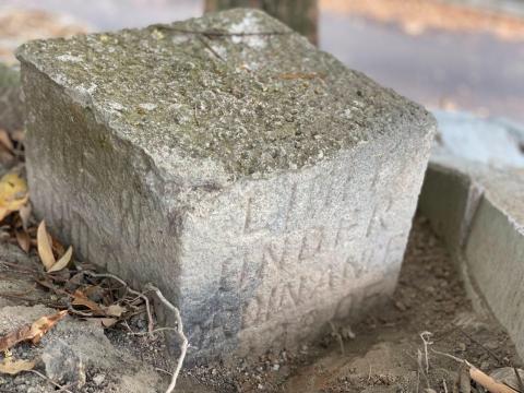
Caldecott road NK/NT boundary stone
1930s
Caldecott road NK/NT boundary stone
1930s
Caldecott road NK/NT boundary stone
Pagination
Page
1
Page
2
Page
3
Page
4
Page
5
Next page
››
Last page
Last »