Skip to main content
Menu
Menu
Home
Free newsletter
Shop
Explore
Add new...
What's new
FAQs
About
Gwulo menu for header
Show — Gwulo menu for header
Hide — Gwulo menu for header
Home
What's new
Gwulo
Old Hong Kong
Photos tagged:
aerial photographs
Primary tabs
View
Books
Events
Organisations
Pages
People
Photos
Places (map)
Places (list)
Streets (map)
Timelines
Items per page
25
100
- All -
Year
Title
1935
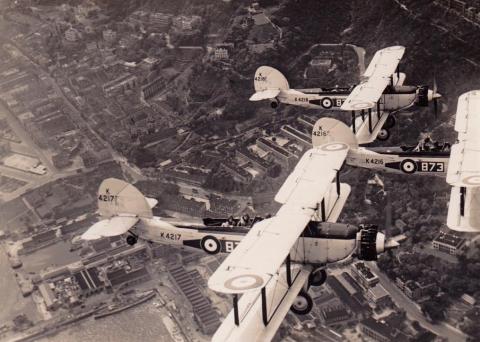
Planes in Flight over Admiralty
1935
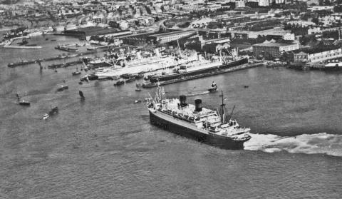
Kowloon wharves-passenger vessel approaching its berthing pier
1936
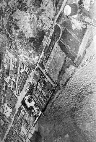
1930s Aerial View of Ma Tau Kok and To Kwa Wan
1937
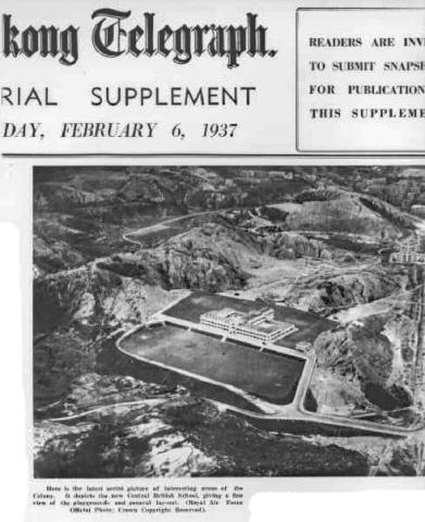
Central British School a.k.a. KGV school in 06-02-1937
1937
1937 Central British School / King George V School
1938
central 1938
1939
16 Feb 1939 TSAT TSZ MUI North Point HK.jpg
1939
Seven Sisters 16 Feb 1939.jpg
1939
Seven Sisters 16 Feb 1939.jpg
1939
Tai Hang Road
1930s
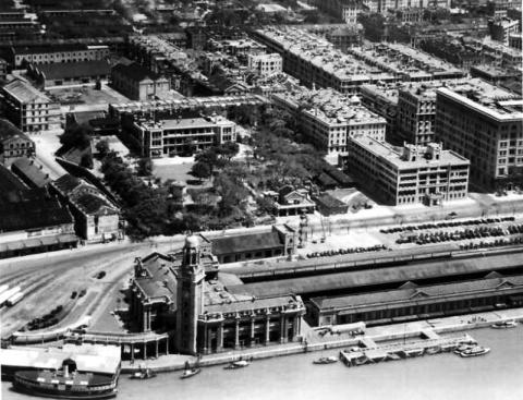
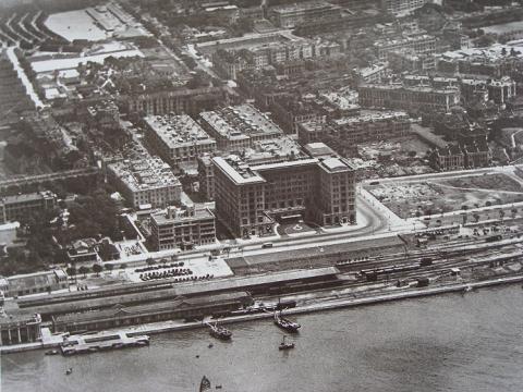
1930s Tsim Sha Tsui KCR station, YMCA and Peninsula Hotel
1930s
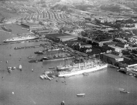
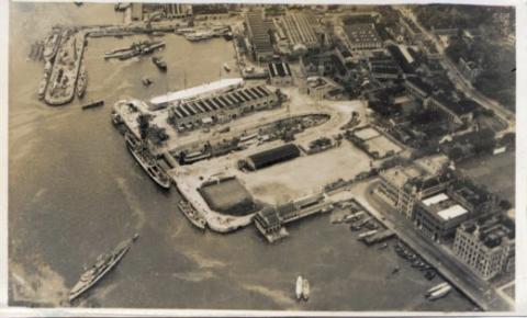
1930s Kowloon Wharves
1930s
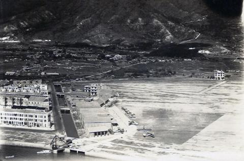
1930s Kai Tak Airfield
1930s
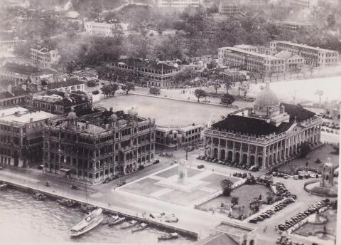
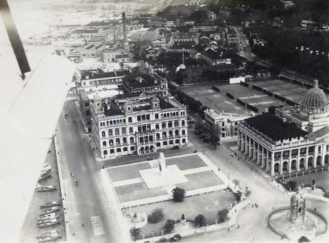
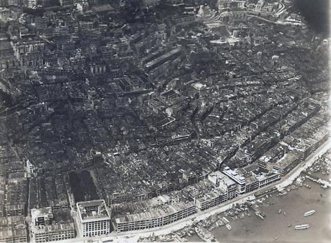
1930s Aerial view over Statue Square
1930s
Peninsula Hotel 1930.JPG
1930s
1930s Holts Wharf at TST
1930s
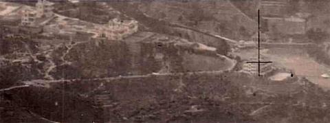
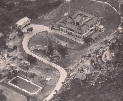
Large Mansion above North Point.jpg
1930s
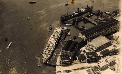
1930s Ship dock air view
1930s
Hankow Road Houses 1930
1930s
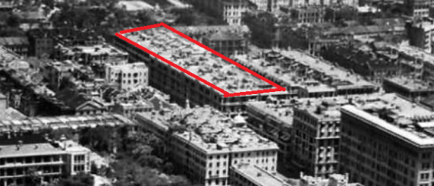
Aerial photo of Central and Sheung Wan 1930s
1930s
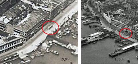
Urinal on Connaught Road east of Man Wa Lane Junction
1930s
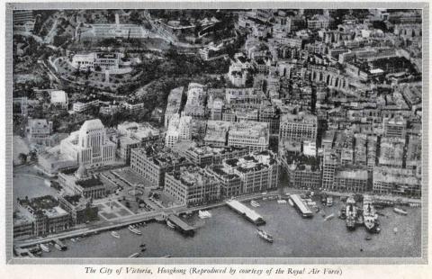
City of Victoria from the China Shipping Manual for1937-1938
1930s
1930s pic suggested viewpoint on 1924.1 crop HKMaps
1940
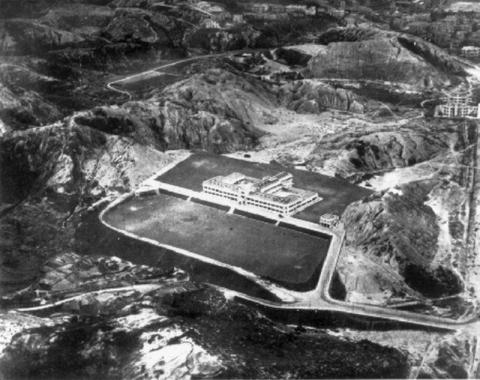
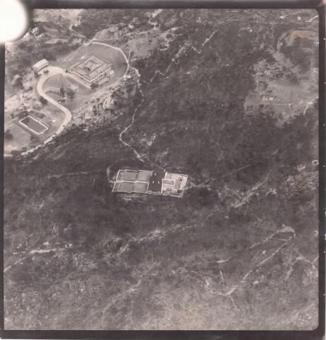
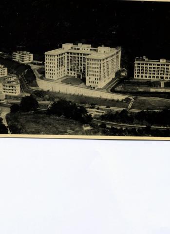
Queen Mary Hospital
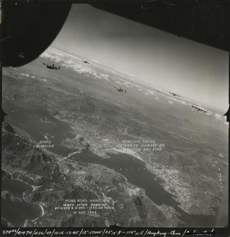
1944
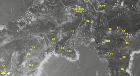
Air Raid 1944-10-16 (2)
Pagination
First page
« First
Previous page
‹‹
Page
1
Page
2
Page
3
Page
4
Page
5
…
Next page
››
Last page
Last »