Skip to main content
Menu
Menu
Home
Free newsletter
Shop
Explore
Add new...
What's new
FAQs
About
Gwulo menu for header
Show — Gwulo menu for header
Hide — Gwulo menu for header
Home
What's new
Gwulo
Old Hong Kong
Cart Flyout
Recent photos
These are the photos most recently added to the Gwulo website.
Items per page
25
100
- All -
Title
Sort descending
Year
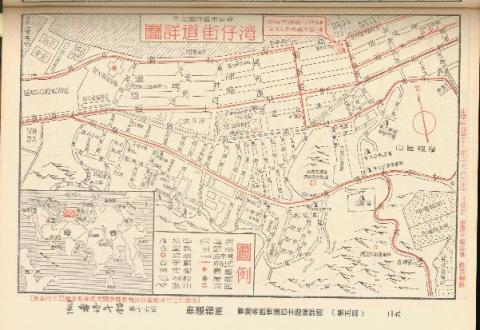
Map of Wan Chai in 1963 (Chinese Version)
1963
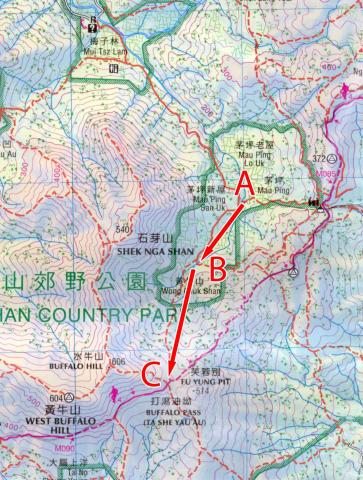
Map of Wong Chuk Shan boulder trackway
2020s
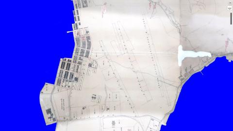
Map of Yau Ma Tei in 1896
1896
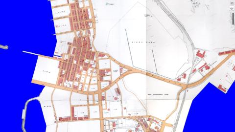
Map of Yau Ma Tei in 1920
1920s
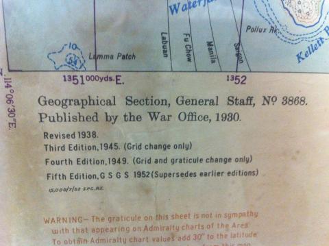
Map Publication Details
????
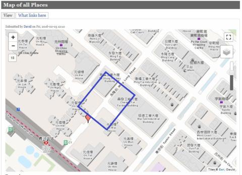
Map showing Chungking Arcade
1960s
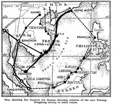
Map Showing First Far- Eastern Air Routes to Hong Kong
1936
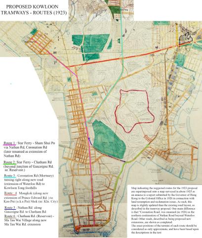
Map showing proposed Kowloon Tramways - 1923
1923
Map showing Southern end of Anderson Road, circa late 1960s
1968
Map showing Star Ferry Pier
1889
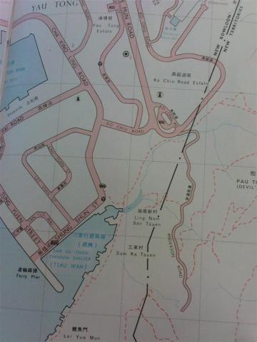
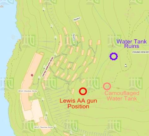
Map showing the military sites of Chung Hom Shan, Chung Hom Kok
2016
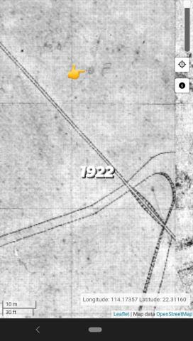
Map showing the “Point E/F/P” in 1922
c.1922
Map showing the “Point E/F/P” in 1947
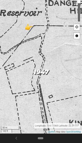
c.1947
Map showing the “Point E/F/P” in 1950
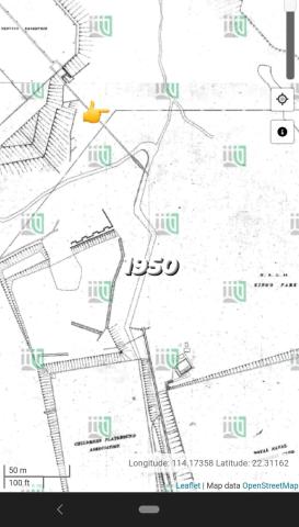
c.1950
Map showing the “Point E/F/P” in 1955
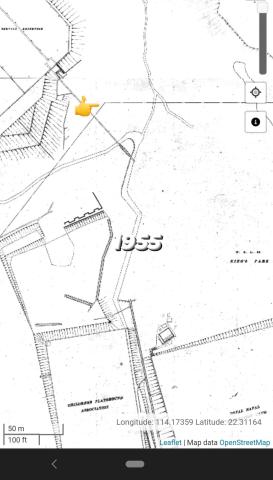
c.1955
Map used by Osler Thomas, BAAG
1938
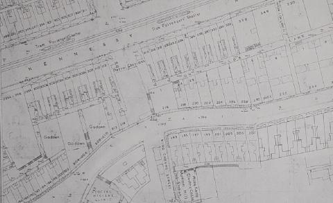
Map Wanchai Road 1957
1957
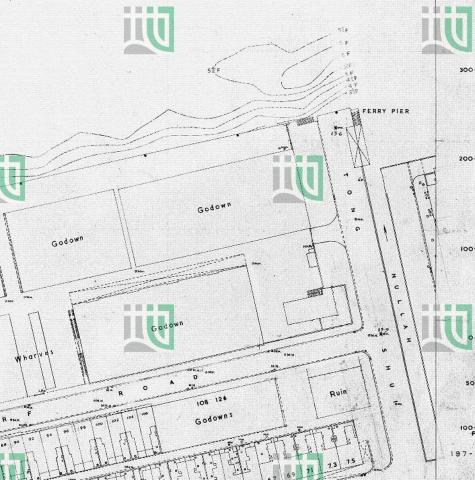
Map West Point Pier (Tong Shui Road) 1956
1956
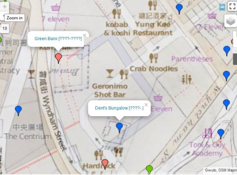
Map with Greenbank and Dent's Bungalow - modern Lan Kwai Fong
1845
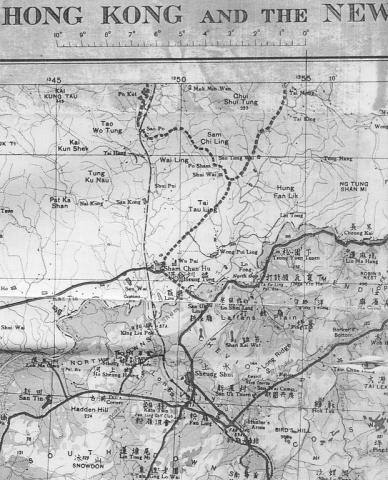
Map-North West New Territories-1939
1939
Map.JPG
????
MAP.jpg
????
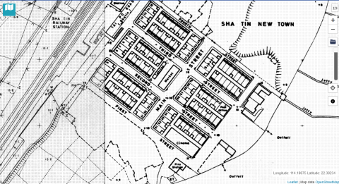
Map: 1970 shatin Hong Kong
1970
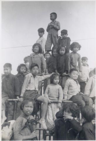
Maple Street Playground, Kowloon. C with his back to us
1957
Mapping HK - cloth covering
????
Pagination
First page
« First
Previous page
‹‹
…
Page
945
Page
946
Current page
947
Page
948
Page
949
…
Next page
››
Last page
Last »