Skip to main content
Menu
Menu
Home
Free newsletter
Shop
Explore
Add new...
What's new
FAQs
About
Gwulo menu for header
Show — Gwulo menu for header
Hide — Gwulo menu for header
Home
What's new
Gwulo
Old Hong Kong
Recent photos
These are the photos most recently added to the Gwulo website.
Items per page
25
100
- All -
Title
Year
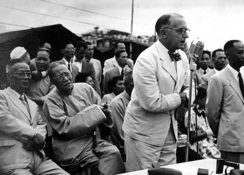
019as.jpg
1949
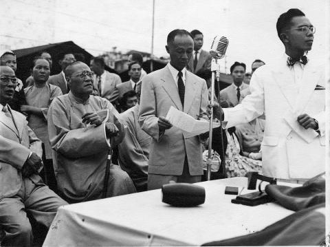
019s.jpg
1949
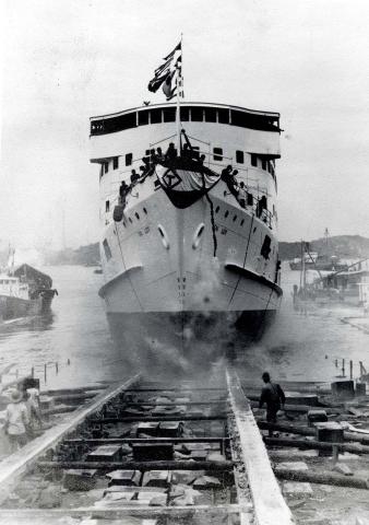
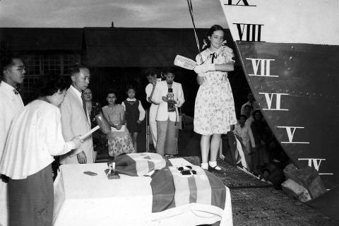
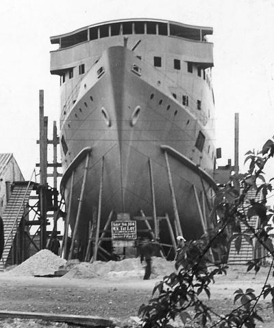
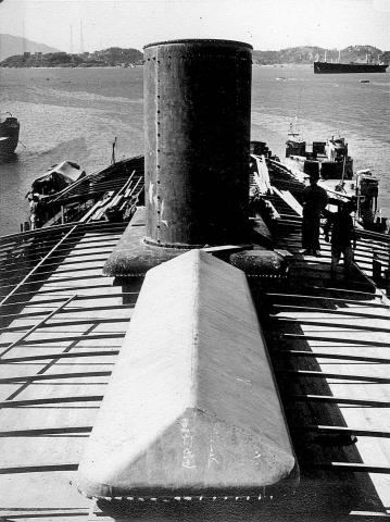
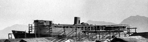
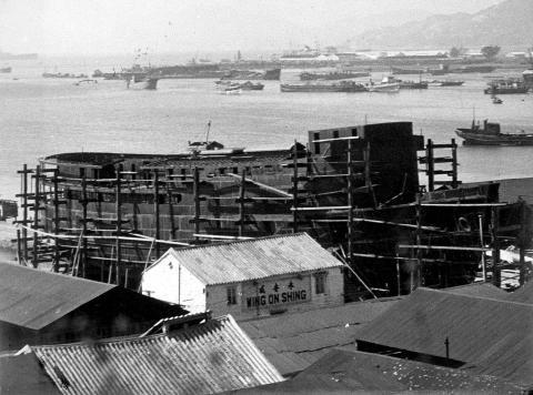
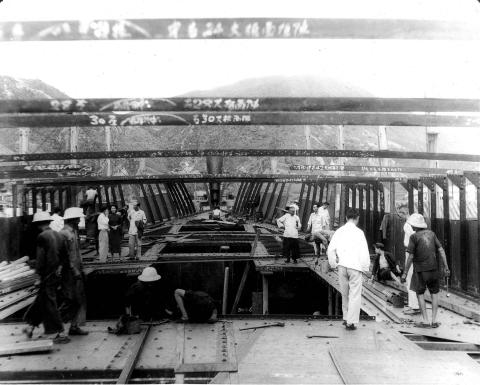
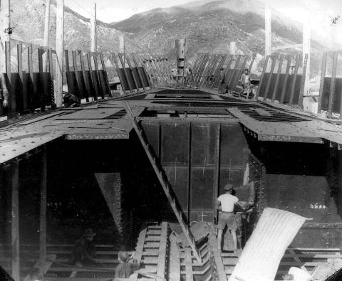
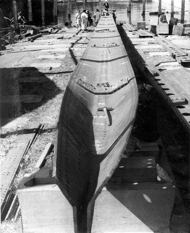
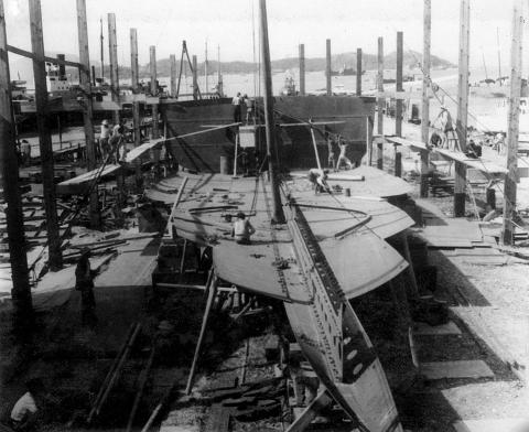
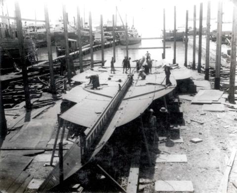
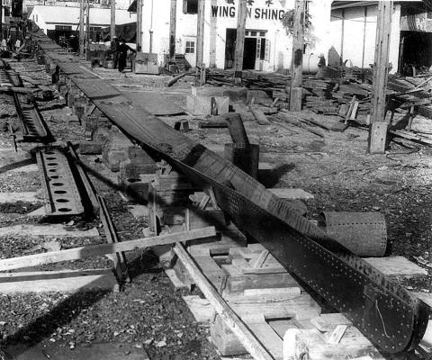
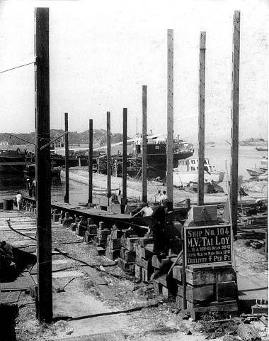
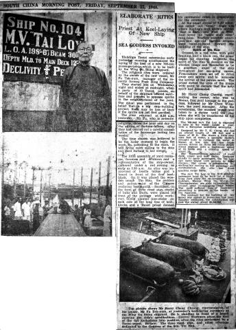
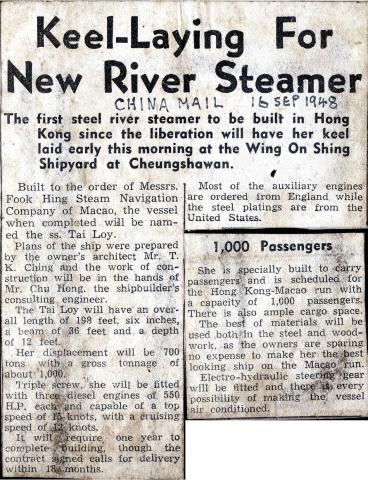
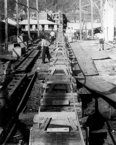
The launching of m/v Tai Loy
1949
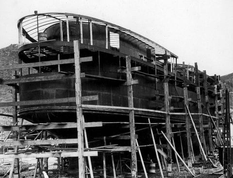
017s.jpg
1949
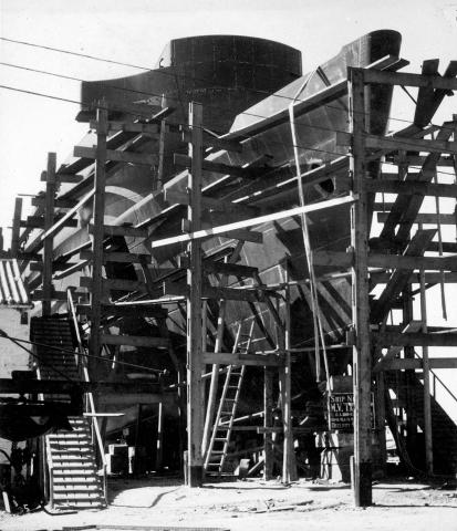
016s.jpg
1949
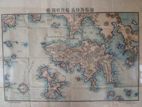
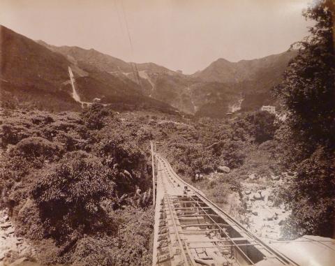
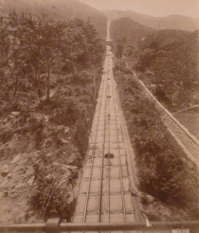
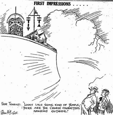
Image taken from page 9 of 'The Tourist's Guide to Hong Kong, with short trips to the Mainland of China. [With plans, etc.]'
1890s
015s.jpg
1949
014s.jpg
1949
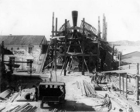
013s.jpg
1949
012s.jpg
1949
011s.jpg
1949
010s.jpg
1949
009s.jpg
1949
008s.jpg
1949
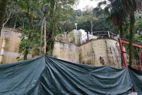
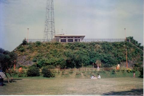
Kwai Chung Incinerator 1980
1980
005as.jpg
1948
007s.jpg
1948
006s
1948
005s.jpg
1948
004s.jpg
1948
003cs
1948
002s.jpg
1948
001s.jpg
1948
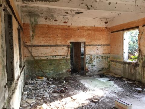
Main Room
2010s
Main Room showing Front Door
2016
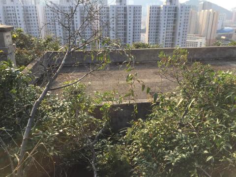
Roof
2016
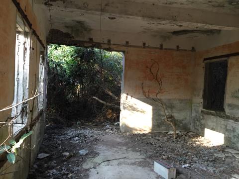
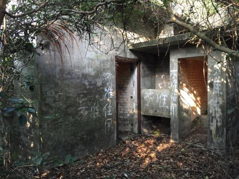
Rear Entrance
2016
8216260850_e4ef8f6242_o.jpg
????
8216258376_709022a9b1_o.jpg
????
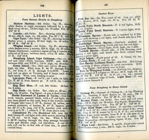
Lights on the Hong Kong coast-circa 1914
1914
Snow on Plantation Road 1893?
1893
image.jpeg
????
Hospital Road 1960
1960s
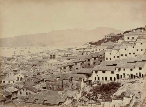
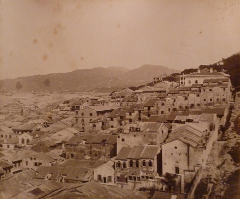
Tai Ping Shan District, mid 1890s
1894
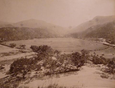
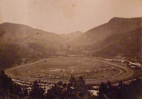
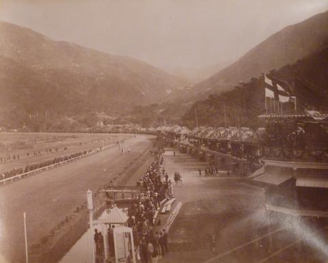
Happy Valley
1890s
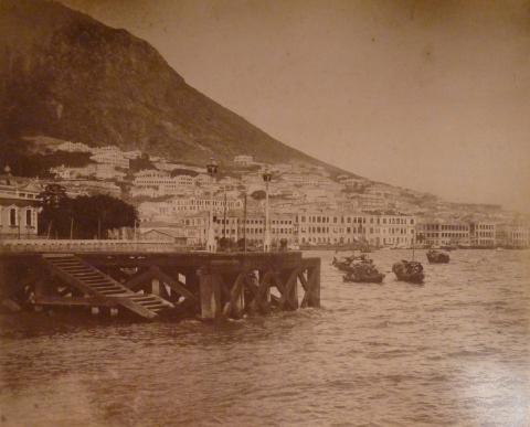
Murray Pier and Central
1885
Hospital Road
1890s
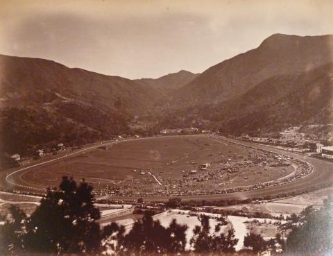
Happy Valley
1890s
Below Hospital Road
1890s
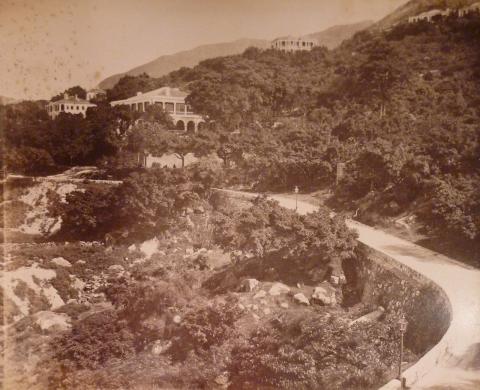
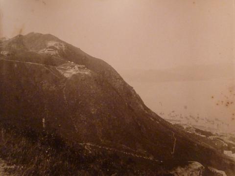
The Peak
c.1889
Happy Valley
1890s
Happy Valley
1890s
Jardine's
1890s
Wanchai and Morrison Hill
1890s
Wanchai Road
1890s
Peak Tram
1890s
Happy Valley
1890s
Harbourmaster's office
1881
Happy Valley
1890s
Happy Valley
1890s
Peak Tram
1890s
Grohmann 1934 Hakenkreuz 16F 15 02 11962.jpg
2011
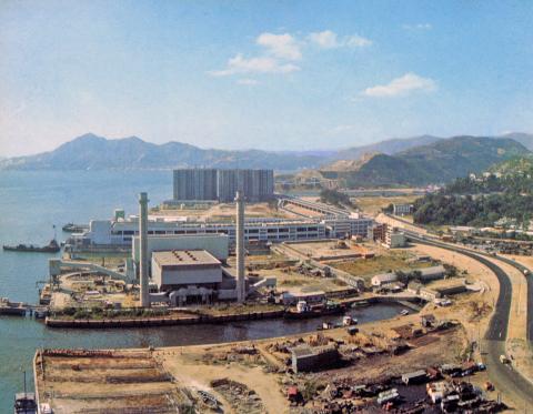
Lai Chi Kok government incinerator-1968
1968
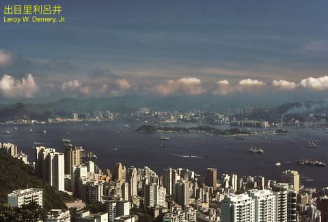
Hong Kong, morning view from Victoria Peak, 1983
1983
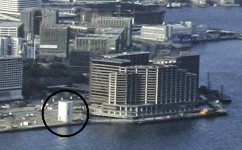
Western district from the harbour
2016
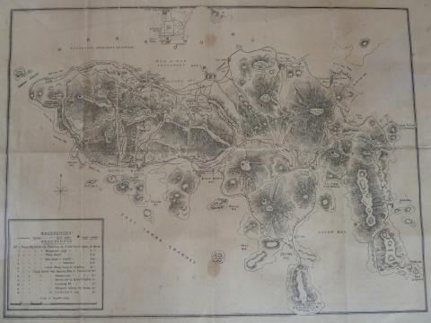
1935 Signal Hill Sketch
1935
Sunset view from Victoria Peak 1980
1980
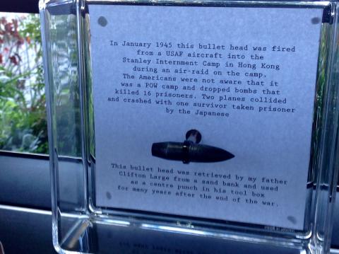
Bullet from Jan 1945 raid on Stanley
1940s
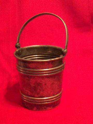
Stanley ration bucket
1940s
Regent/Intercontinental Hotel 1980
1980
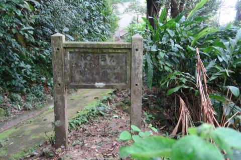
Sign for 457, The Peak
2016
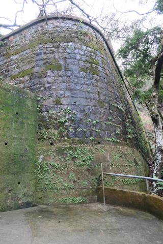
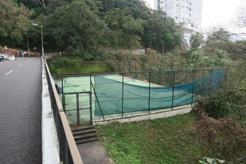
Retaining wall for the tennis court
2016
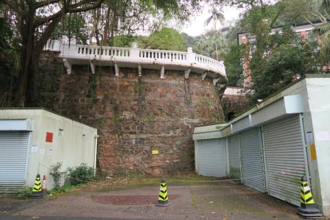
Retaining wall below Victoria House
2016
Tennis court
2016
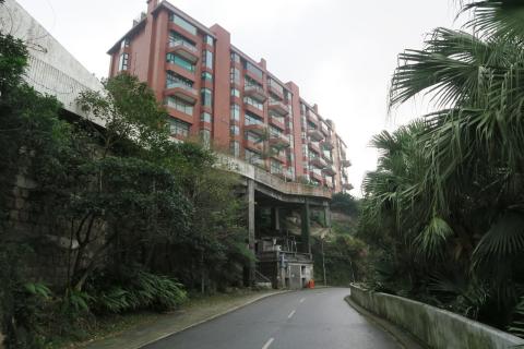
Altadena House and the old garage
2016
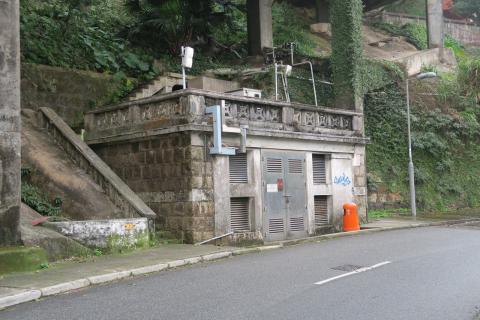
Altadena's old garage
2016
Demolition site, Villa Blanca
2016
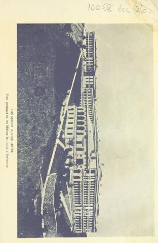
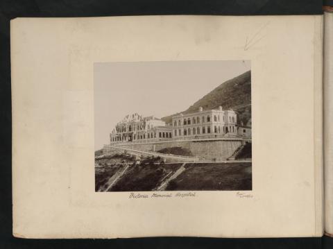
Victoria Memorial Hospital.
1903
Roof
1930
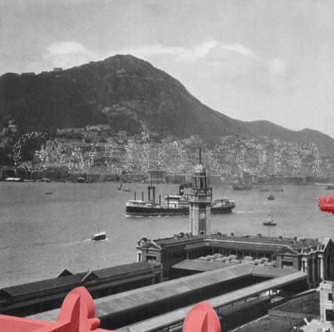
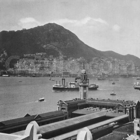
View of Hongkong island from TST
1930
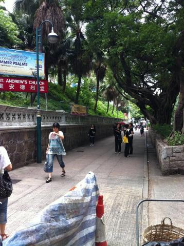
Nathan Road, hillside in front of St. Andrews Church
2011
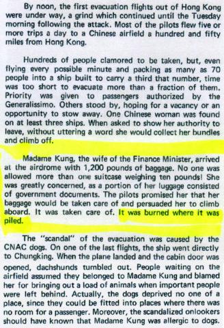
Madame Kung's flight from Hong Kong-December 1941
1941
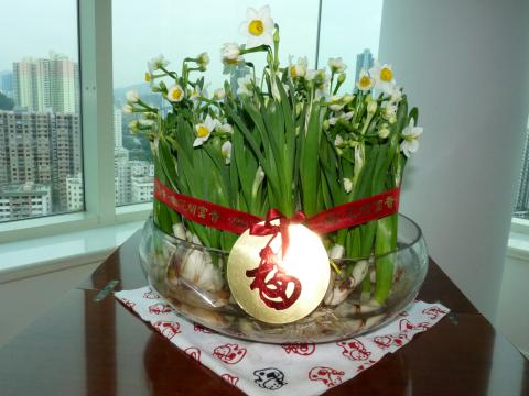
CNY
????
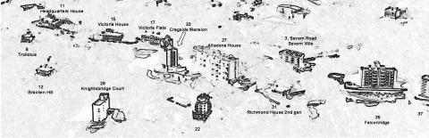
Sketch of Aerial View of the Peak 1980s
1985
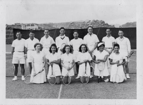
Tennis team.jpg
1949
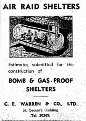
1940 Custom-Built Air Raid Shelter Advertisement
1940
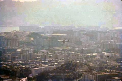
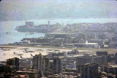
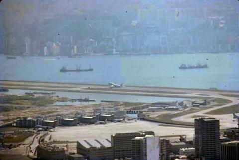
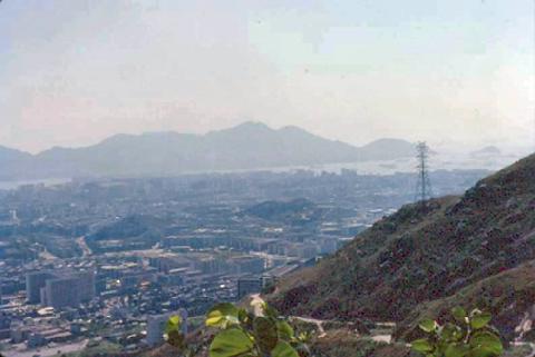
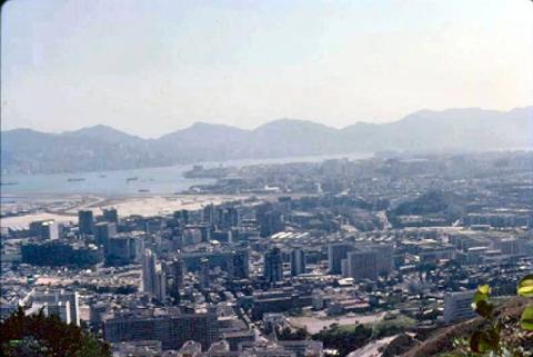
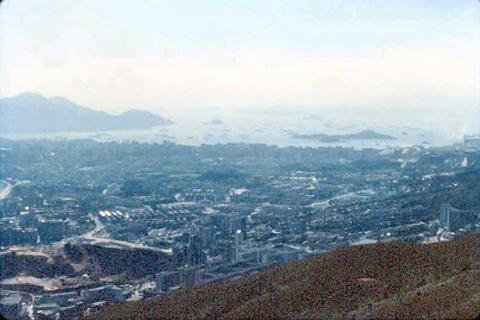
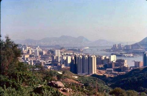
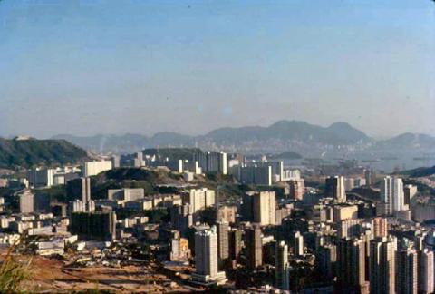
1979 - view from Kowloon Peak
1979
1979 - view from Kowloon Peak
1979
1979 - view from Kowloon Peak
1979
1979 - view from Kowloon Peak
1979
1979 - view from Kowloon Peak
1979
1979 - view from Kowloon Peak
1979
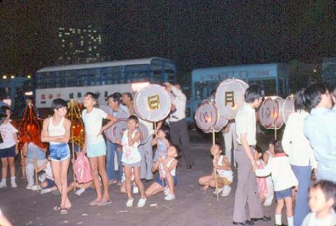
1979 - Stanley Bay
1979
1979 - Stanley Bay
1979
1979 - Stanley Bay
1979
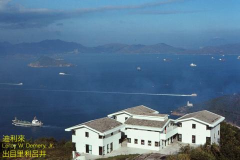
Mount Davis & Youth Hostel
2014
Mount Davis Youth Hostel, Hong Kong, 1983
1983
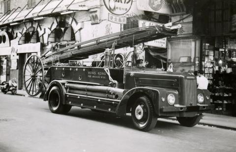
Fire engine-1959.
1959
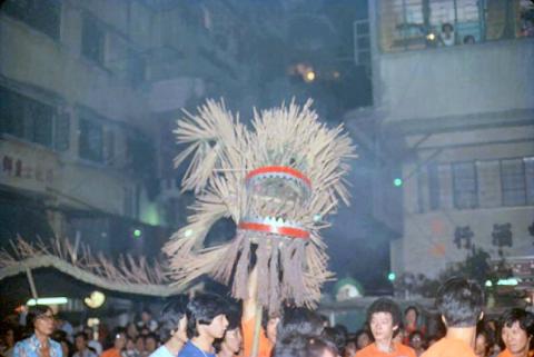
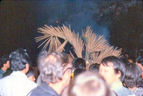
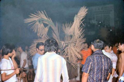
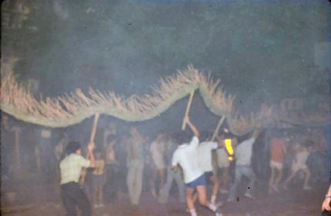
1979 - Tai Hang Fire Dragon
1979
1979 - Tai Hang Fire Dragon
1979
1979 - view over Tsuen Wan
1979
1979 - view over Tsuen Wan
1979
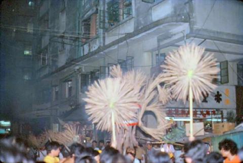
1979 - Tai Hang Fire Dragon
1979
1979 - Tai Hang Fire Dragon
1979
1979 - Tai Hang Fire Dragon
1979
1979 - Tai Hang Fire Dragon
1979
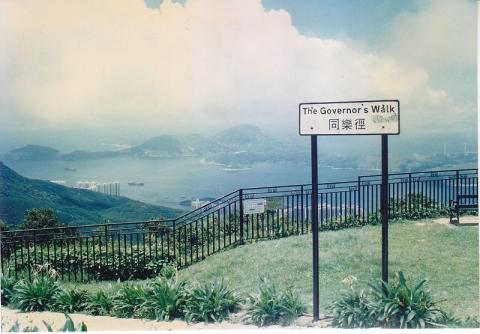
1990s Governor's Walk
1997
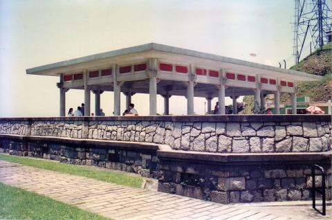
1990s Site of Former Mountain Lodge
1997
1990s Victoria Peak Garden
1997
1990s Victoria Flats
1997
Pagination
First page
« First
Previous page
‹‹
…
Page
275
Page
276
Page
277
Page
278
Page
279
…
Next page
››
Last page
Last »