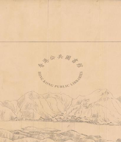
The 10 sketch maps:
1. The Lyeemoon Pass, from Hong Kong side
2. The Lyeemoon, fromt he outside
3. The Lyeemoon, from the chinese side
4. The Lyeemoon, from Mount Parker
5. Stanley, from the South West
6. Stanley, from the North West
7. The Mouth of the Happy Valley
8. Green Island, from the North
9. Hong Kong Harbour, from the East
10. The Island of Hong Kong, from the Cowloon Side
You can download your own very detailed maps. I can't find a way to link directly to these sketches, except by using the key words above at http://hkclweb.hkpl.gov.hk/hkclr2/internet/eng/html/welcome.html
Each map has been divided into quadrants, and you have to download each one for a complete set.
I've uploaded just one quadrant to show you what these look like:
