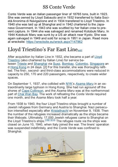
This information adds to the story of the largest ship that was run aground during the 1937 typhoon - the SS Conte Verde of 18,765 tons. Of interest to me is that this grounding took place at Little Sai Wan (Siu Sai Wan) and, knowing how small the bay was in the 1950s and therefore in 1937, it must have been a spectacular sight. I hope to add it to the thread about that typhoon. Andrew Suddaby
Date picture taken
1930s
Gallery
Shows event(s)

Comments
1937 Typhoon - S.S. Conte Verde
SS Conte Verde aground
Thank you Moddsey for adding the two photographs.
The first one was taken looking to the East possibly from somewhere on the coast near Chai Wan, or more likely even further to the West on the coast near the old Pak Sha Wan battery. Tung Lung Chau island is in the background. Enlarging the image it looks as though there was a line of rocks leading from the right hand side of the photograph out to the ship, with some of Little Sai Wan bay's water just visible behind it. The water there was always very shallow so it is possible that these rocks might have been dumped to provide a temporary land access to the ship. Such a spit apparently stretching some distance across the front of the bay was not there in the 1950s, but it could esily have been removed as a hazard to the many fishing junks and smapans in that area. The large grey area to the right of the ship's stern puzzles me and I suspect that it is probably a smudge on the negative. Confirming the viewing angle, the large pile of rocks on the summit of the ridge above Little Sai Wan, as seen on several of my own images, is just visible. It therefore pre-dates 1937 and its origin becomes more interesting as 1937 would pre-date any possibility, as suggested by me in another string, that bored military personnel built the large cairn during the time when the first wireles station was established at Little Sai Wan in the period leading up to the Japanese invasion in 1941. One of the Gwulo readers visited the pile of rocks a few years ago and he confirmed that it was not natural. Perhaps it had been the site for a beacon lit to indicate the entrance to the harbour and associated with the Cape Collnson lighthouse?
The second image intrigues me. Relative to the way the ship is slightly keeled over onto her starborad side on both images, two locations for the standpoint of the photographer are likely. He might have been standing on what we in the 1950s referred to as the Point, not far from where Pill Box 37 would be built, or he could have been on the shore at the Western headland of the bay. I have tried to identify the standpoint with reference to the hills in the backgrond but witout any firm ideas. The stepped hillside on the left looks rather like the lower slopes of Mt Parker, but the large hill on the right puzzles me. If the Point standpoint is correct then the background hills could be those around Junk Bay. Has anyone any thoughts? Andrew