Skip to main content
Menu
Menu
Home
Free newsletter
Shop
Explore
Add new...
What's new
FAQs
About
Gwulo menu for header
Show — Gwulo menu for header
Hide — Gwulo menu for header
Home
What's new
Gwulo
Old Hong Kong
Cart Flyout
Photos tagged:
New Territories
Primary tabs
View
Books
Events
Organisations
Pages
People
Photos
(active tab)
Places (map)
Places (list)
Streets (map)
Timelines
Items per page
25
100
- All -
Year
Title
Sort ascending
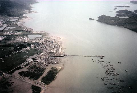
1978
Where is this?-now identified as Shau Tau Kok & Starling Inlet
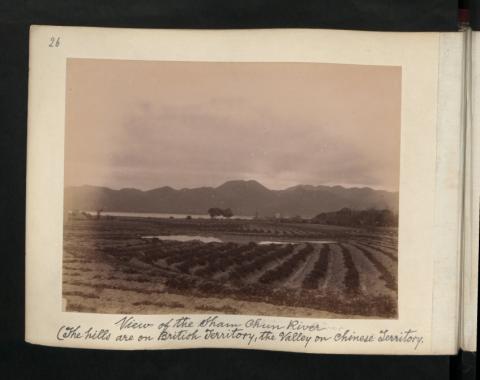
1899
View of the Sham Chun River (The hills are on British Territory, the valley on chinese Territory)
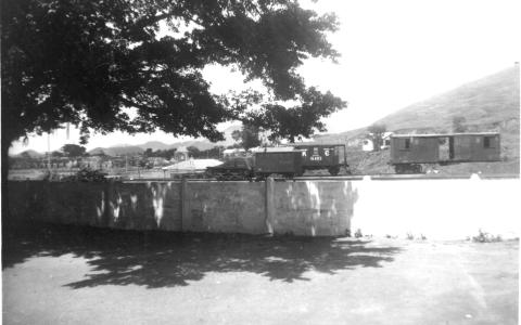
1950s
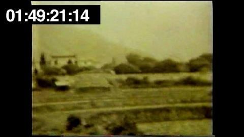
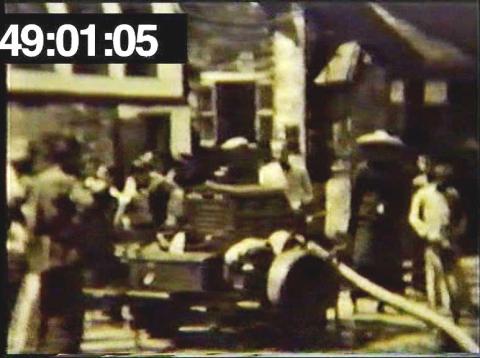
Unidentied KCR railway scene
1969
Tsing Lung Tau-DRAGON VILLA
1948
Train in NT.JPG
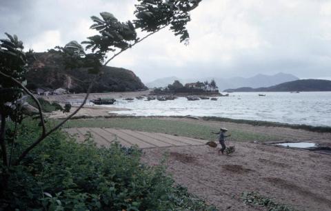
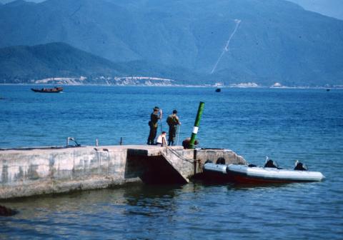
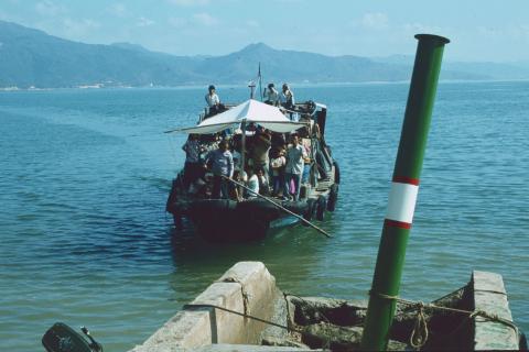
1980
Tolo Jetty, New Territories, Hong Kong 1980
1980
Tolo Jetty, New Territories, Hong Kong 1980
1935
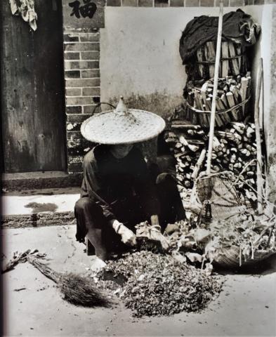
Threshing crops - New Territories
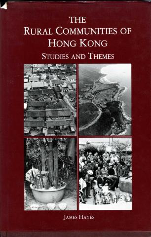
1983
The Rural Communities of Hong Kong-book published 1983
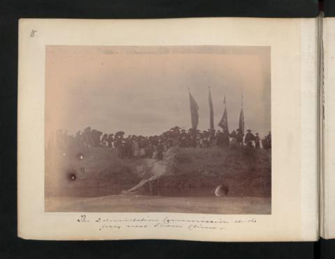
1899
The Delimitation Commissioner at the ferry near Sham Chun.
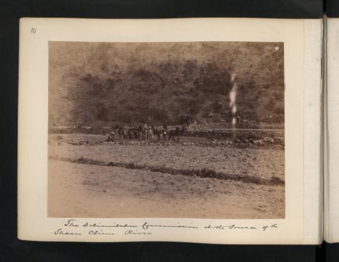
1899
The Delimitation Commission at the source of the Sham Chun River.
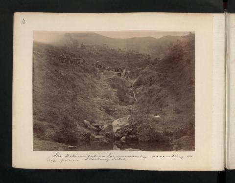
1899
The Delimitation Commission ascending the Gap from Starling Inlet.
1948
Terrain to the right of Tsui Sing Lau Pagoda - Photo #2.JPG
1901
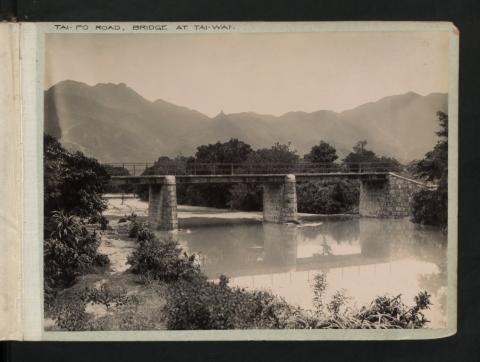
Tai-Po Road, Bridge at Tai-Wai.
1902
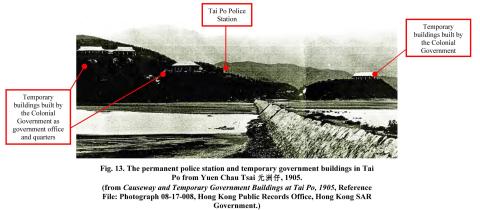
tai po police station and temporary buildings
????
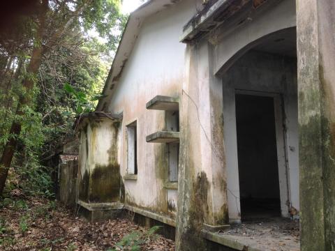
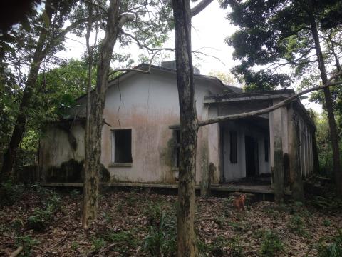
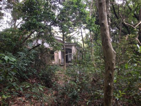
Tai Po Kau headland house 3.jpg
????
Tai Po Kau headland house 2.jpg
????
Tai Po Kau headland house 1.jpg
1899
Sir Henry Blake at the Ancestral Hall of Tang Clan in Ping Shan 1899
1948
Pumping in Channel 2.JPG
1948
Pumping in channel 1.JPG
1948
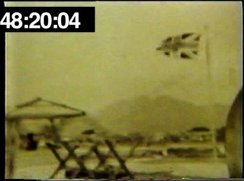
NT Border crossing perhaps with flag and barricade.JPG
1948
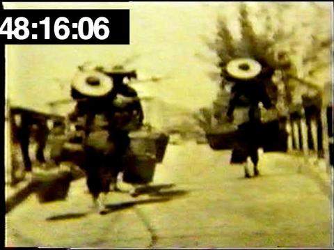
NT Border - Chinese women crossing bridge.JPG
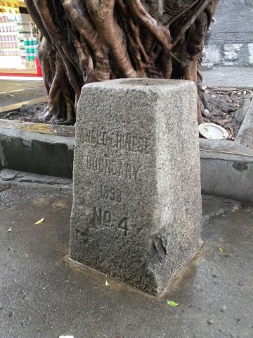
2017
No. 4 Boundary Stone
1974
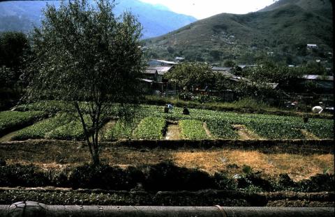
New Territories photo, 1974. Can anyone locate the exact place?
Pagination
Current page
1
Page
2
Page
3
Page
4
Page
5
Next page
››
Last page
Last »