Skip to main content
Menu
Menu
Home
Free newsletter
Shop
Explore
Add new...
What's new
FAQs
About
Gwulo menu for header
Show — Gwulo menu for header
Hide — Gwulo menu for header
Home
What's new
Gwulo
Old Hong Kong
Recent photos
These are the photos most recently added to the Gwulo website.
Items per page
25
100
- All -
Title
Year
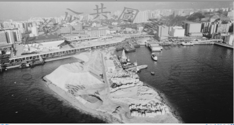
1988 hunghom air view.png
1988
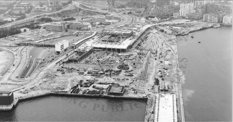
1974-06-20 hunghom air view.png
1974
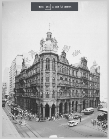
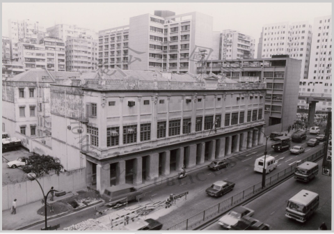
general post office 1963.png
1963
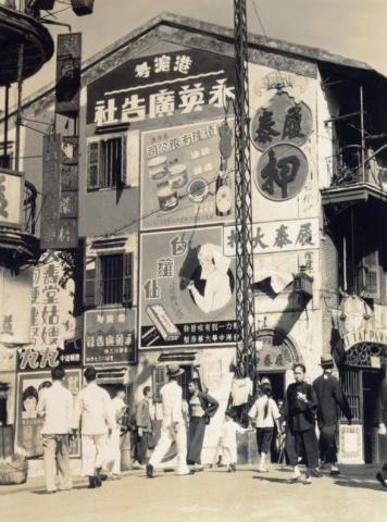
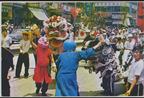
1930s Advertisement
1930s
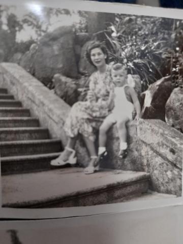
20211129_192254.jpg
1940s
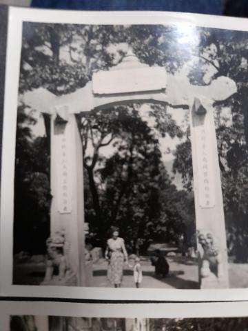
20211129_192232.jpg
1940s
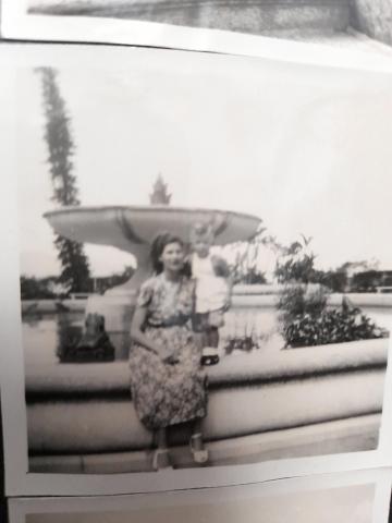
20211129_192327.jpg
1940s
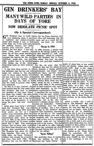
Gin Drinkers Bay a 1936 history
1936
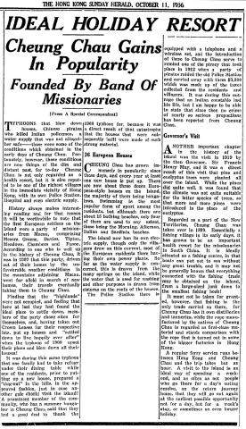
Cheung Chau as a holiday resort
1936
Former Kowloon Police Headquarters.png
1970s
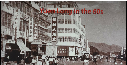
kuk ting street yuen long 70s-80s.png
????
yuen long castle peak rd 1960s.png
1960s
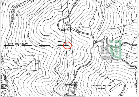
city boundary Lung Fu Shan C-195-SE 1969
1969
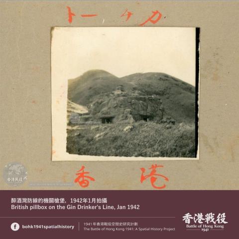
Unknown British pillbox on the Gin Drinkers Line
1942
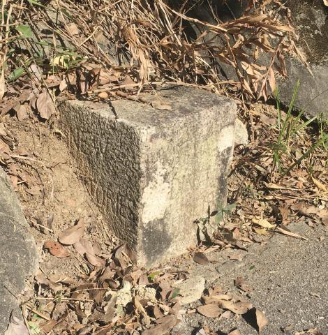
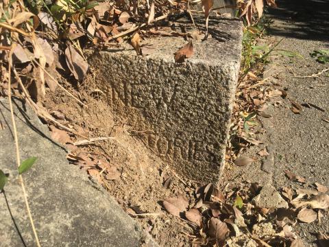
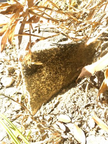
JAT Incline NT/NK boundary stone NT surface (a)
2021
JAT Incline NK/NT boundary stone (NT surface) (b)
2021
JAT incline NK/NT boundary stone (NK surface) (a)
2021
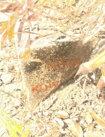
JAT incline NK/NT boundary stone (NK surface) (b) (Inscriptions able to be seen are colored with orange on screen)
2021
yuen long castle peak road 60s.png
????
tai wan shan 1973.png
1973
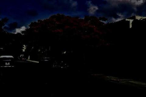
High rise building
????
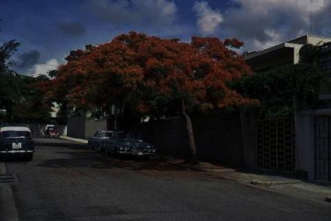
High rise building at the end of the road
????
Bomb Shelter sign
1940s
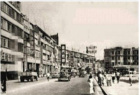
Tai Po Road near Boundary St.
1960s
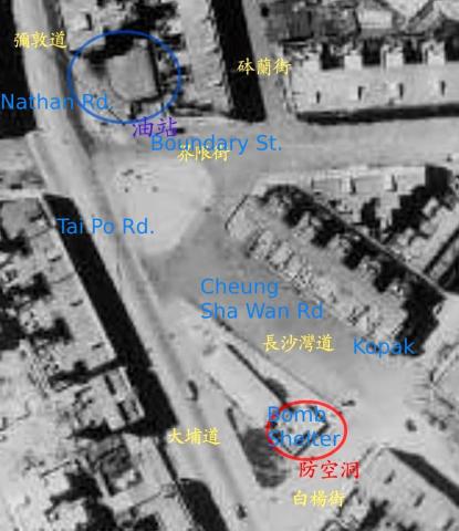
Aerial Photo of Boundary St./Nathan Rd./Tai Po Rd. junction
1940s
Pagination
First page
« First
Previous page
‹‹
…
Page
385
Page
386
Page
387
Page
388
Page
389
…
Next page
››
Last page
Last »