| 1909 |
extract from 1909 map
|
| 1912 |
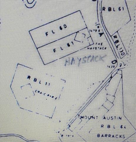
FL's 60 & 61 on 1912 Map.
|
| 1912 |
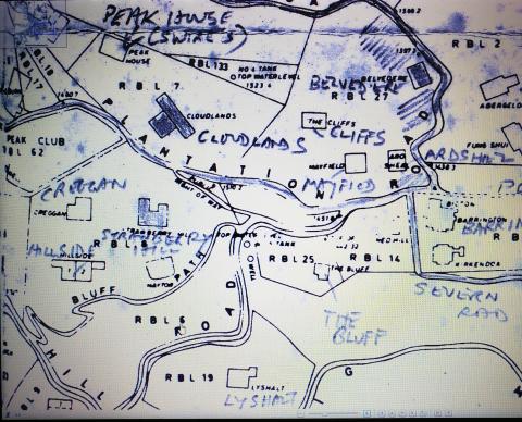
Extract of 1912 Peak Map
|
| 1924 |
RBL 166 on 1924 Map

|
| 1924 |
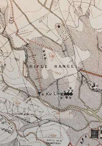
1924 Map of Rifle Range
|
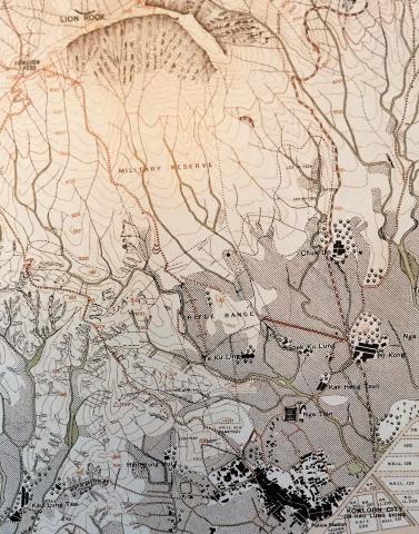
| 1924 |
1924 Map. South of Lion Rock
|
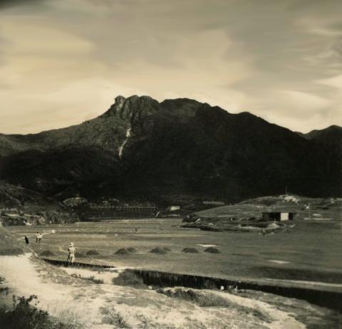
| 1920s |
Range below Lion Rock
|
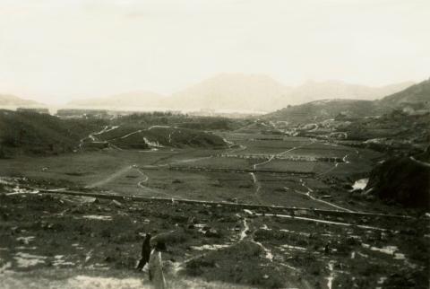
| 1920s |
Rifle Range below Lion Rock
|
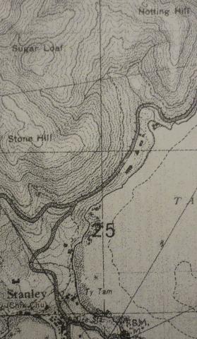
| 1939 |
1939 OS Map of Stanley Main Beach
|
| 1930s |
Extract of 1930 OS mAP
|
| 1945 |
"1945 Nurse quarter"
|
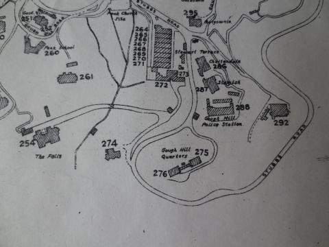
| 1955 |
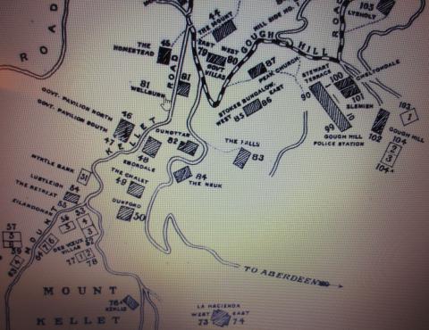
1950s Map of Gough Hill
|
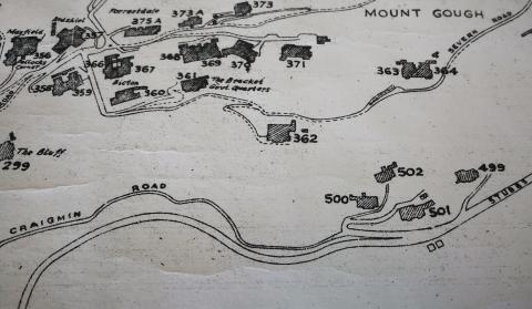
| 1955 |
mid 1950's Mt Gough.jpg
|
| 2011 |
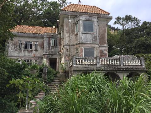
138 - 140 Pok Fu Lam Road
|
| 2013 |
middle spur aop
|
| 2013 |
middle spur aop
|
| 2013 |
middle spur aop
|
| 2013 |
middle spur aop
|
| 2013 |
middle spur aop
|
| 2014 |
Chung Hom Shan Lewis AA gun position
|
| 2014 |
Chung Hom Kok Shan Water Tank
|
| 2014 |
IMG_0008.JPG
|
| 2014 |
Severn Road
|
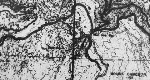
| 2014 |
aop on mount cameron near wanchai gap
|
| 2014 |
aop on mount cameron near wanchai gap
|
| 2014 |
aop on mount cameron near wanchai gap
|
| 2014 |
aop on mount cameron near wanchai gap
|
| 2014 |
aop on mount cameron near wanchai gap
|
| 2014 |
aop on mount cameron near wanchai gap
|
| 2014 |
aop on mount cameron near wanchai gap
|
| 2014 |
aop on mount cameron near wanchai gap.
|
| 2014 |
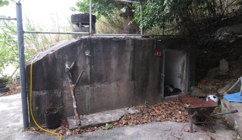
site of 10 & 11 The Peak
|
| 2015 |
Bowen Road
|
| 2015 |
Bowen Road
|
| 2015 |
Bowen Road
|
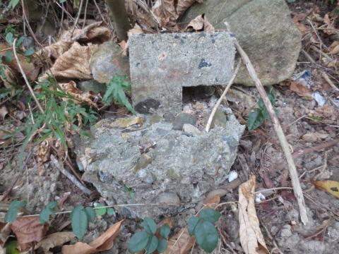
| 2015 |
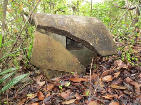
"r" shaped structure with barbed wire attached
|
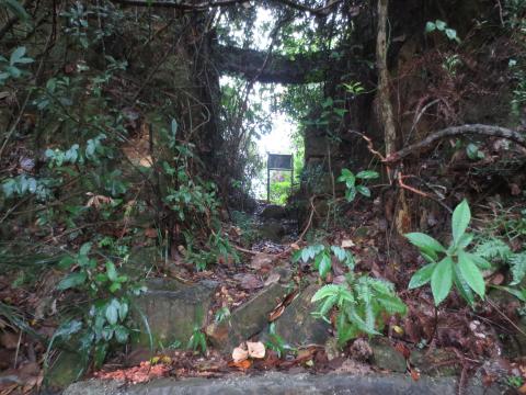
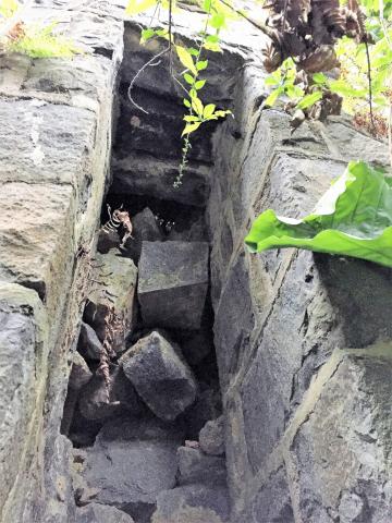
| 2015 |
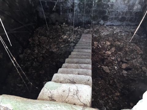
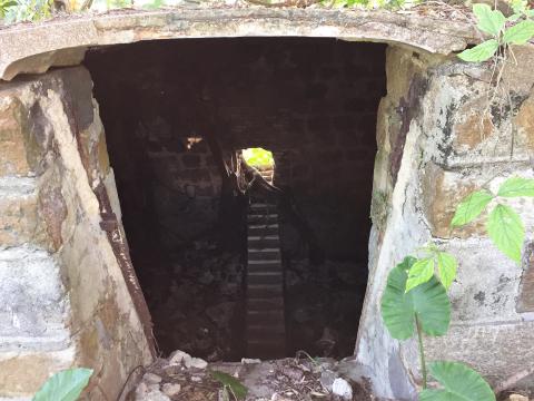
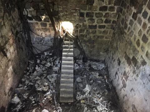
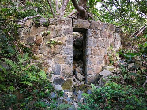
blocked tunnel.
|
| 2015 |
LL 20 out of sight in trees above tunnel entrance to left of green rubbish bin
|
| 2015 |
point of access to LL 20 from south bay rd.
|
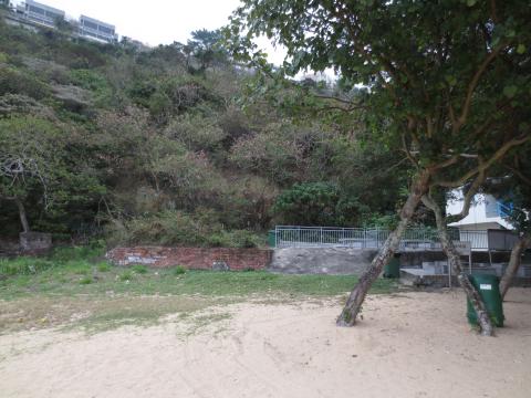
| 2015 |
view from LL 20 to beach
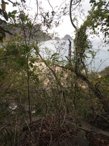
|
| 2015 |
damaged entrance to LL 20 from within
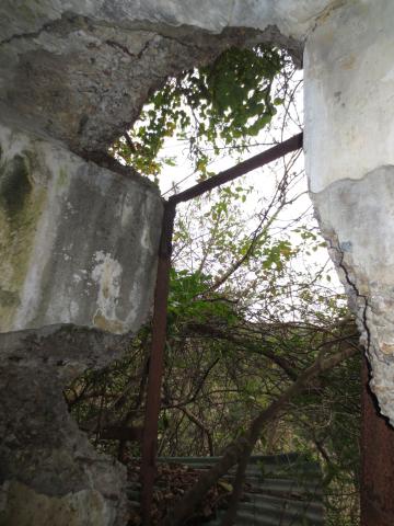
|
| 2015 |
first trench
|
| 2015 |
first trench
|
| 2015 |
second trench
|
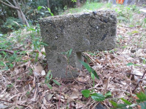
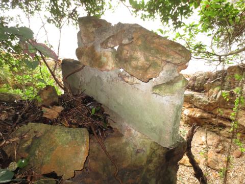
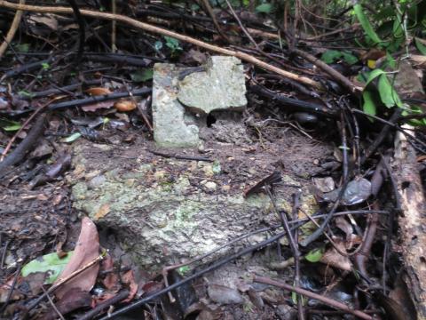
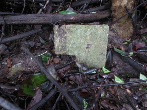
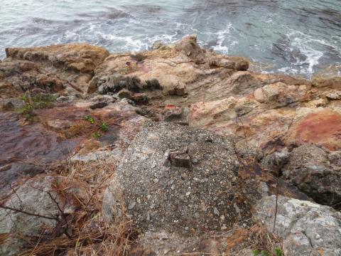
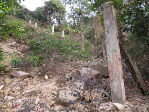
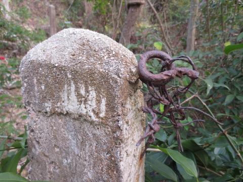
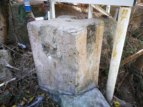
| 2015 |
concrete post
|
| 2015 |
"r" shaped structure
|
| 2015 |
"r" shaped structure
|
| 2015 |
Old barbed wire fence
|
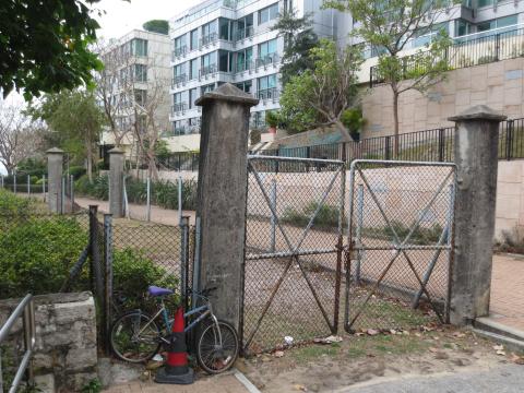
| 2015 |
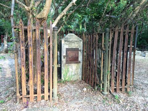
Gateposts below the Eucliffe site.
|
| 2015 |
Lyon Light No.8
|
| 2015 |
Gateposts below the Eucliffe site.
|
| 2015 |
Portion of the original driveway to Eucliffe.
|
| 2015 |
Front view of unidentified structure.
|
| 2015 |
unidentified structure from rear.
|
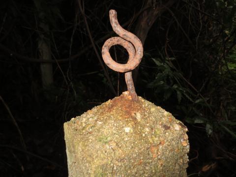
| 2015 |
Top of perimeter fence post.
|
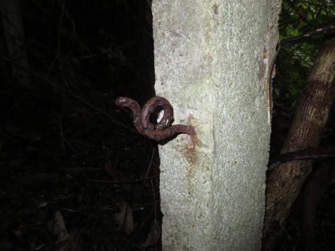
| 2015 |
Side of perimeter fence post.
|
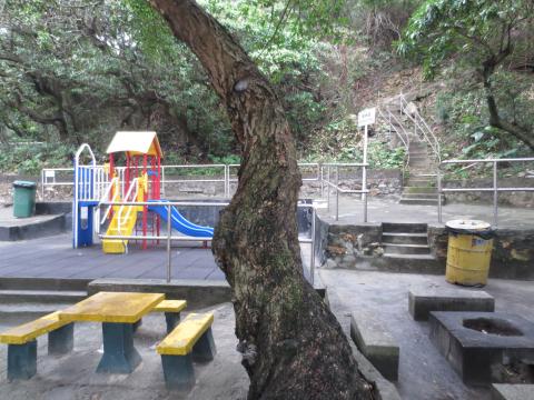
| 2015 |
Turtle Cove Playground
|
| 2015 |
"r"
|
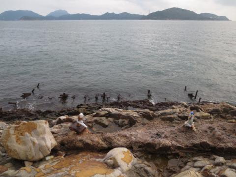
| 2015 |
Approaching along the rocks
|
| 2015 |
"r"
|
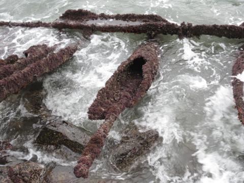
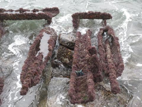
| 2015 |
Line of structures up the rocks
|
| 2015 |
"r"
|
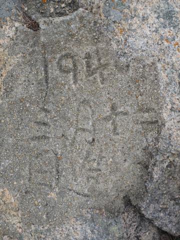
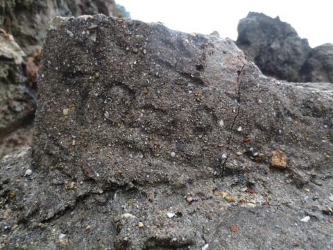
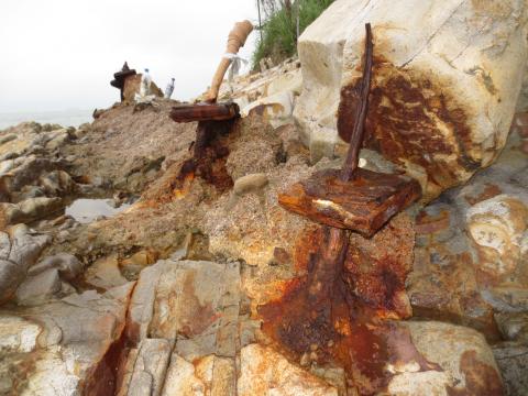
| 2015 |
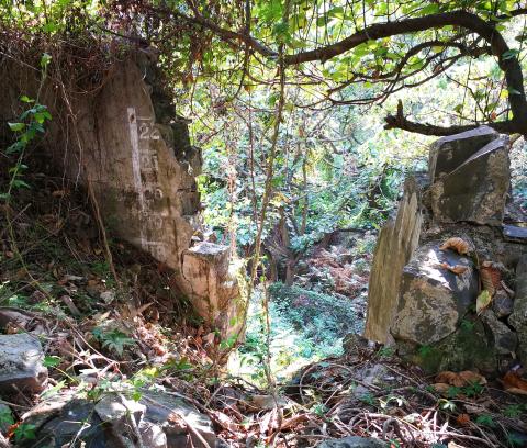
First inscription.
|
| 2015 |
Second inscription.
|
| 2015 |
Third inscription.
|
| 2015 |
Fourth inscription
|
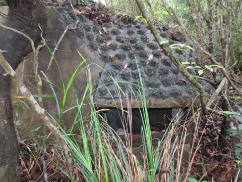
| 2015 |
structure with remains of post in top.
|
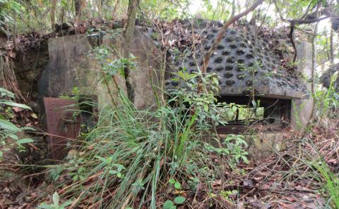
| 2015 |
structure in undergrowth
|
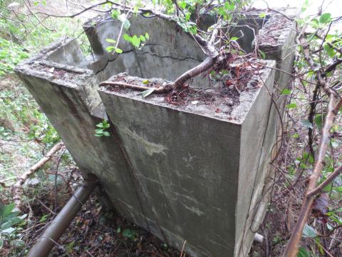
| 2015 |
Rear of structure
|
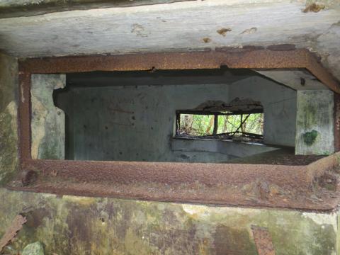
| 2015 |
Interior of structure
|
| 2015 |
damaged entrance to LL 20
|
| 2015 |
Fence posts running down the slope from South Bay Road.
|
| 2015 |
Fence posts running across the slope.
|
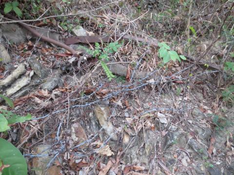
| 2015 |
Barbed wire attached to fence post.
|
| 2015 |
"r" shaped structure.
|
| 2015 |
front wall east corner
|
| 2015 |
wall at south west corner
|
| 2015 |
perimeter wall
|
| 2015 |
remains of outbuildings
|
| 2015 |
outbuildings from reverse angle
|
| 2015 |
access point
|
| 2015 |
lower terracing
|
| 2015 |
the front wall
|
| 2015 |
top of front wall
|
| 2015 |
Lower level
|
| 2015 |
Part of lower level showing frame supporting circular pipe containing rod or cable.
|
| 2015 |
Part of lower level showing two circular pipes each with a rod/cable within. "U" shaped frame rear and center.
|
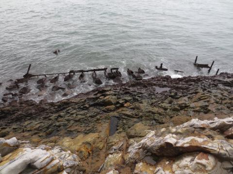
| 2015 |
Unidentified structure. Lamma Island in distance.
|
| 2015 |
Part of the upper level.
|
| 2015 |
Upper level, 3rd pole from north. Wah Fu Estate (left) & Lamma Island (right) in background.
|
| 2015 |
Upper level, looking down on 3rd pole from north.
|
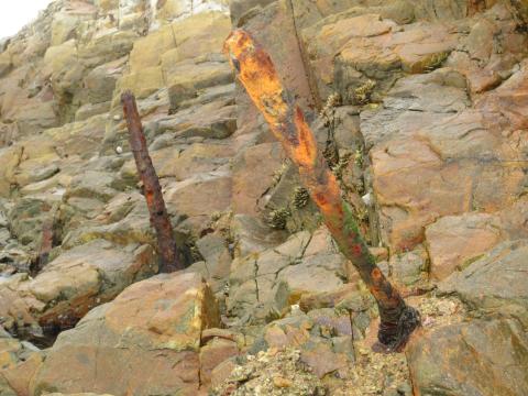
| 2015 |
Upper level, 4th pole from north.
|
| 2015 |
Upper level, 7th (left) & 8th poles from north.
|
| 2015 |
Upper level, 9th to 12th poles from north, all with white protective piping.
|
| 2015 |
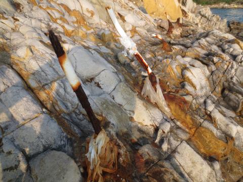
Middle level, 1st (left) to 3rd poles from north.
|
| 2015 |
Middle level, 12th (left) & 13th poles from north.
|
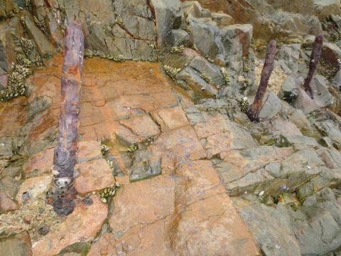
| 2015 |
Lower level.
|
| 2015 |
Brick Hill from Wong Nei Chung Gap
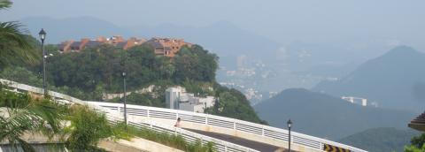
|
| 2015 |
Cameron Mansions from Lugard Road
|
| 2015 |
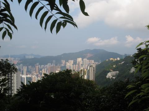
View west from Pollock's Path
|
| 2015 |
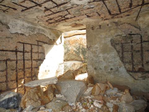
Inside.
|
| 2015 |
Bunker on rocks near Shek O Golf Course
|
| 2015 |
Front view.
|
| 2015 |
The structure is well concealed.
|
| 2015 |
camoflage.
|
| 2015 |
slit window.
|
| 2015 |
the view with tip of Shek O Headland in distance on right.
|
| 2015 |
approach to rear of building.
|
| 2015 |
Rear of the building
|
| 2015 |
Inside.
|
| 2015 |
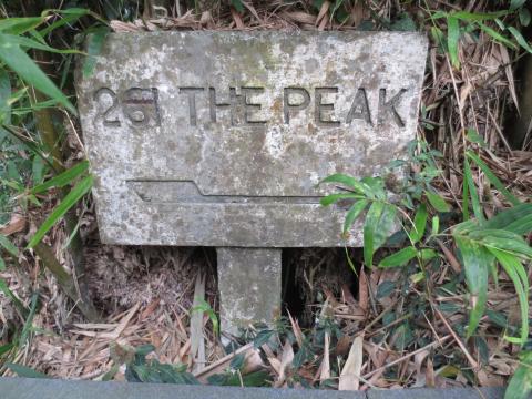
71, 74 & 76 Peak Road
|
| 2015 |
From South Horizons to Tin Wan
|
| 2015 |
Cutting Off Little Sai Wan Camp Road
|
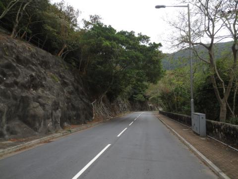
| 2015 |
Water Channel above Cutting Off Little Sai Wan Camp Road
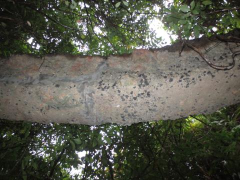
|
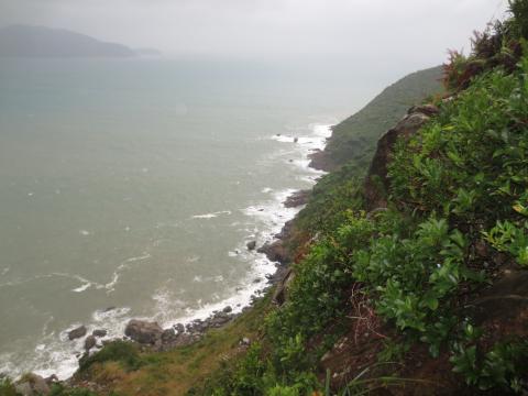
| 2015 |
View South from Cutting off Little Sai Wan Camp Road
|
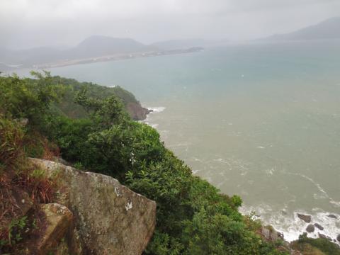
| 2015 |
View North from Cutting off Little Sai Wan Camp Road
|
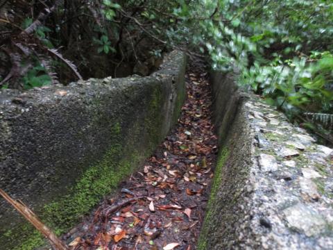
| 2015 |
Concrete Channel above Cutting off Little Sai Wan Camp Road
|
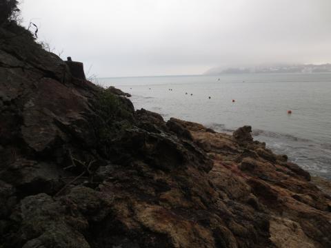
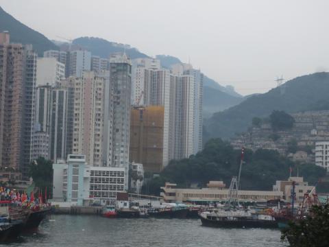
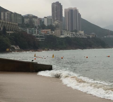
| 2015 |
View from Stanley Beach to Cape D'Aguilar
|
| 2015 |
Ap Lei Chau Duck Egg (east)
|
| 2015 |
Ap Lei Chau Duck Egg (west)
|
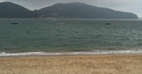
| 2015 |
View from Stanley Main Beach
|
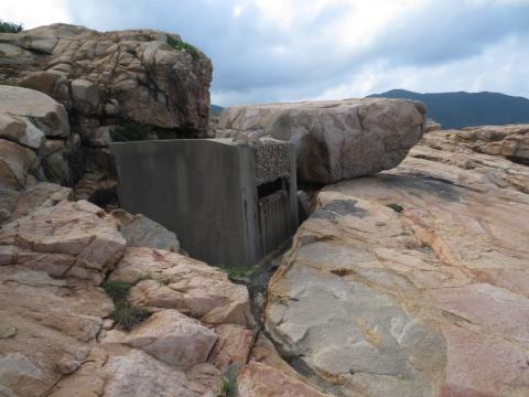
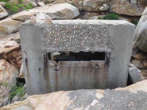
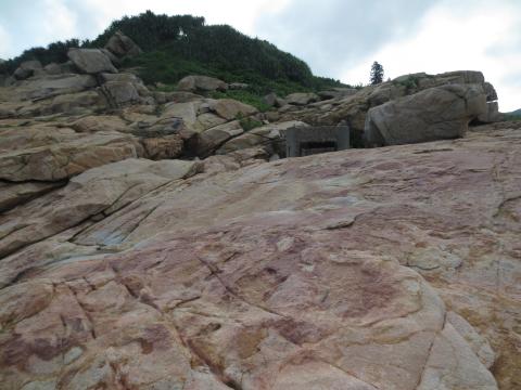
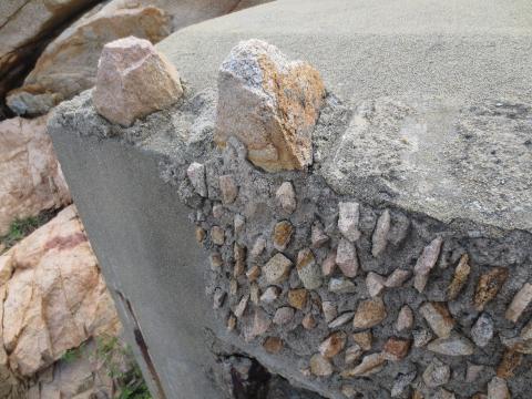
| 2015 |
Observation (front) & Ventilation Towers
|
| 2015 |
Lyon Light Shelter 033
|
| 2015 |
LL 033 Side and Rear View
|
| 2015 |
PB 33 Front View
|
| 2015 |
PB 33 Side View
|
| 2016 |
entry to Gough Hill Residences,
|
| 2016 |
north_side_of_shelter.
|
| 2016 |
south_side_of_shelter.
|
| 2016 |
internal_view_of_shelter_roof.
|
| 2016 |
Rear Entrance
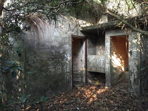
|
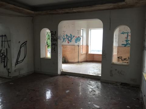
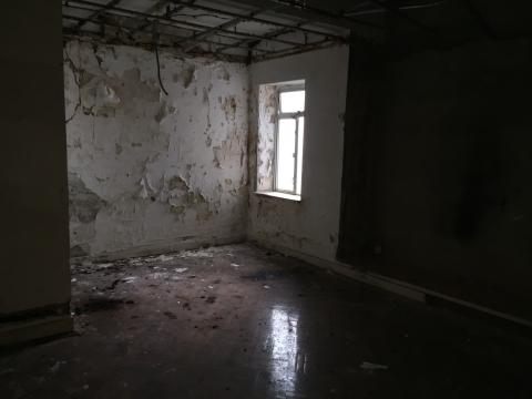
| 2016 |
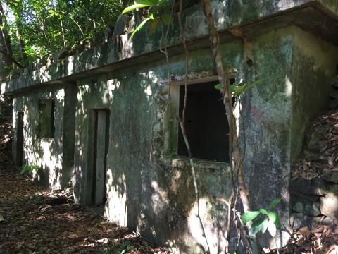
Main Room showing Front Door
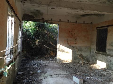
|
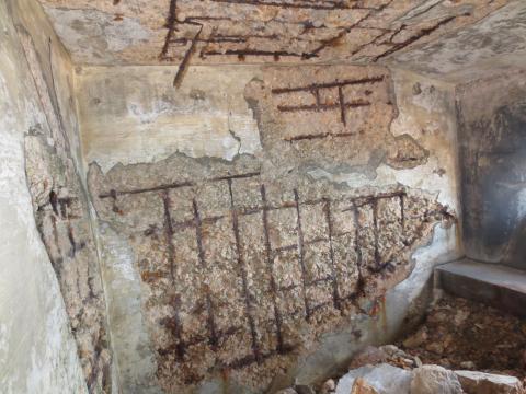
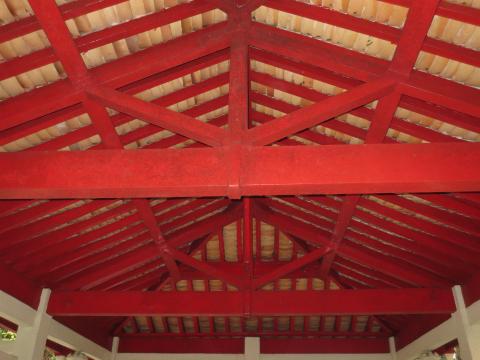
| 2016 |
Roof
|
| 2016 |
middle spur aop
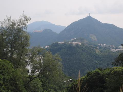
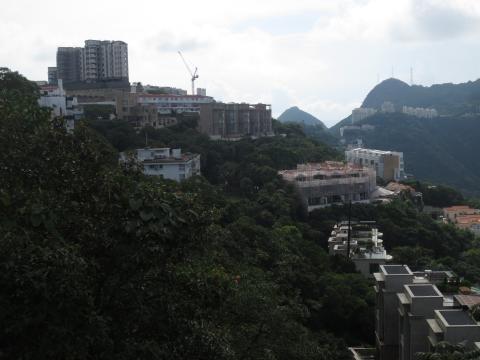
|
| 2016 |
Pottinger Gap AASL Storeroom?
|
| 2016 |
Rain Gauge at Wong Nei Chung Reservoir(?)
|
| 2016 |
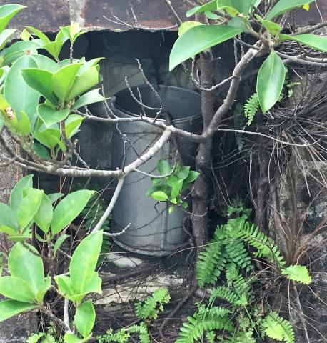
Close-up of inside of suspected rain gauge
|
| 2016 |
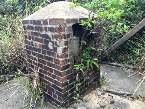
Suspected Rain Gauge
|
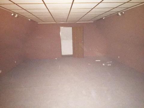
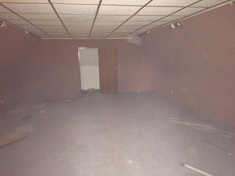
| 2016 |
Through lounge to study
|
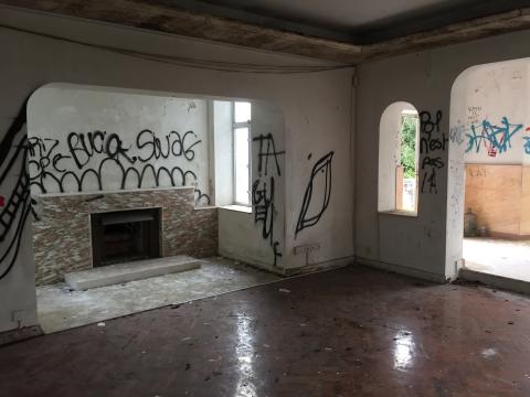
| 2016 |
Fireplace off lounge
|
| 2016 |
Dinning Room
|
| 2016 |
Dinning Room
|
| 2016 |
Master Bedroom
|
| 2016 |
Master Bedroom
|
| 2016 |
Front bedroom
|
| 2016 |
Third Bedroom
|
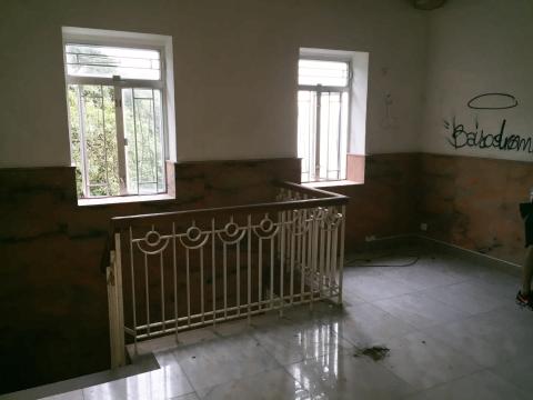
| 2016 |
Second Floor lobby
|
| 2016 |
Second floor off lobby
|
| 2016 |
Second floor, second space off lobby
|
| 2016 |
Dragon Lodge, view of east side from the drive
|
| 2016 |
Dragon Lodge, from overgrown front garden
|
| 2016 |
Dragon Lodge, front door, hall and staircase
|
| 2016 |
Rain gauge surrounded by old fence
|
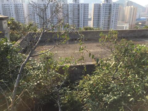
| 2016 |
View from above.
|
| 2016 |
View from the rear
|
| 2016 |
Inside AOP below High West
|
| 2016 |
Inside AOP below High West
|
| 2016 |
Inside AOP below High West
|
| 2016 |
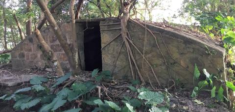
Inside first unknown building (north end)
|
| 2016 |
Inside first unknown building (north end)
|
| 2016 |
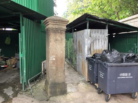
Gate Post
|
| 2016 |
Inside first unknown building (south end)
|
| 2016 |
Wall of water tank
|
| 2016 |
Inside first unknown building (south end)
|
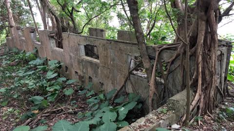
| 2016 |
Large, flat area
|
| 2016 |
Toilet
|
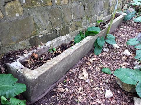
| 2016 |
Trough on upper terrace
|
| 2016 |
Toilet
|
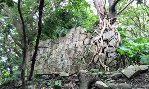
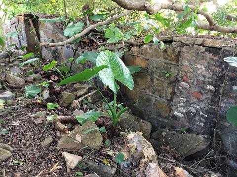
| 2016 |
Stone walls and terracing
|
| 2016 |
Water tank
|
| 2016 |
Stone walls and terracing
|
| 2016 |
Incinerator
|
| 2016 |
Stone walls and terracing
|
| 2016 |
Bottles and bowl
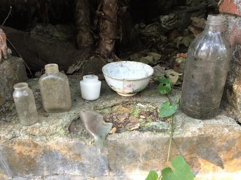
|
| 2016 |
Stone walls and terracing
|
| 2016 |
Second unknown building
|
| 2016 |
Milking Shed
|
| 2016 |
Entrance to second unknown building
|
| 2016 |
Milking Shed (north end)
|
| 2016 |
Inside second unknown building
|
| 2016 |
Inside the milking shed
|
| 2016 |
Inside the milking shed
|
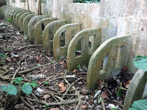
| 2016 |
Trough
|
| 2016 |
First unknown building (north end)
|
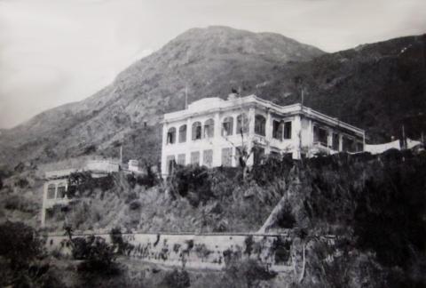
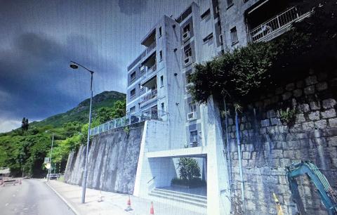
| 2016 |
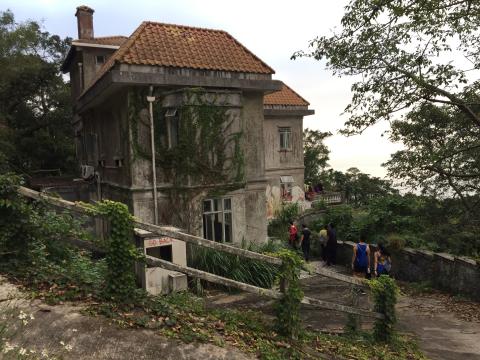
138 - 140 Pok Fu Lam Road
|
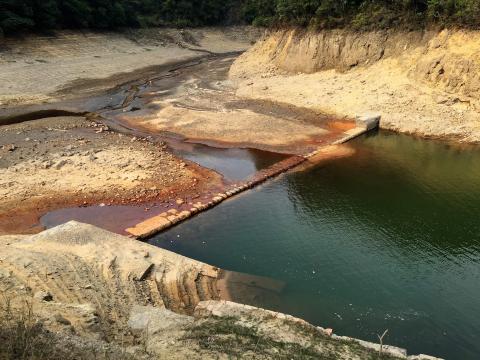
| 2017 |
Old Dam at Tai Tam
|
| 2017 |
Old Dam at Tai Tam
|
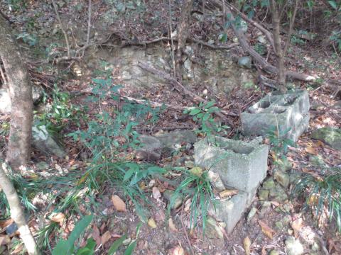
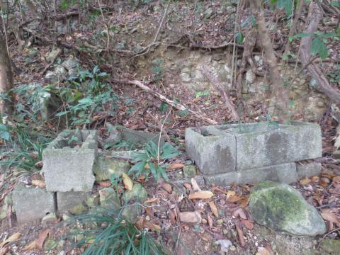
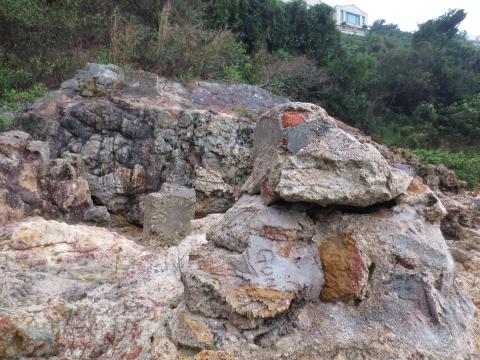
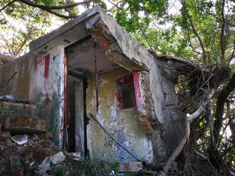
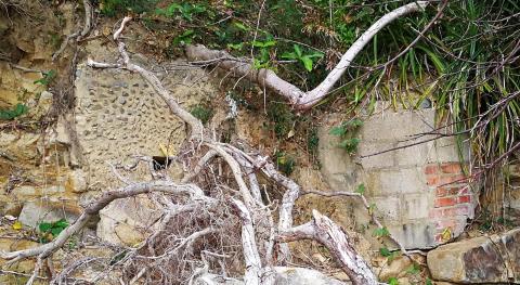
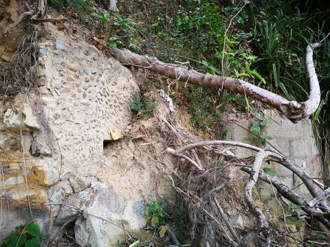
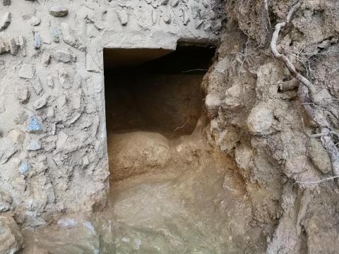
| 2017 |
Four old structures
|
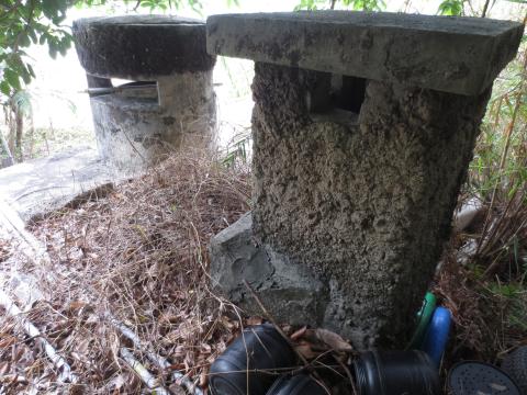
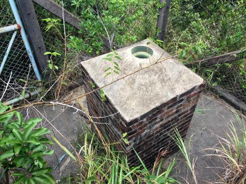
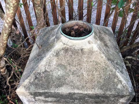
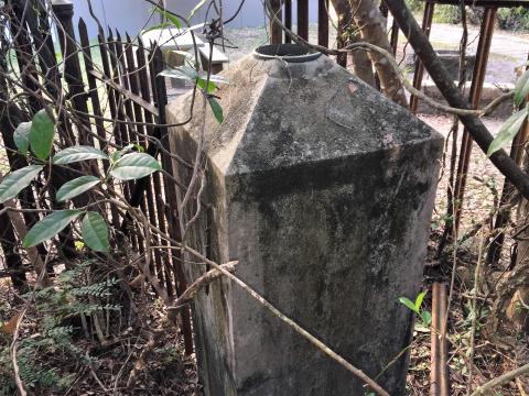
| 2017 |
Silage Silo above Victoria Road
|
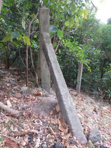
| 2017 |
Vertical gap
|
| 2017 |
Top of silage silo above Victoria Road
|
| 2017 |
Old Dam at Tai Tam
|
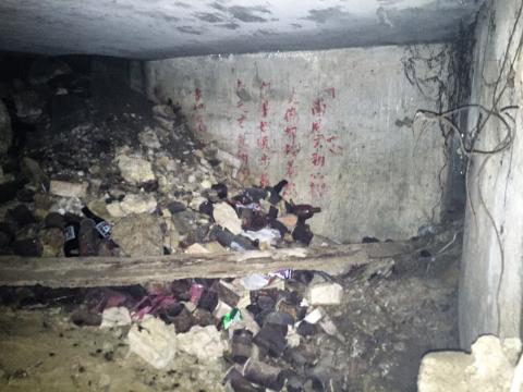
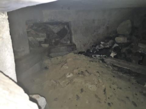
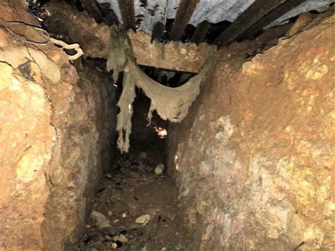
| 2017 |
Inside the tunnel.
|
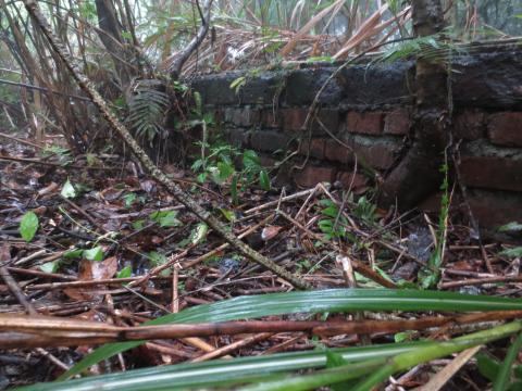
| 2017 |
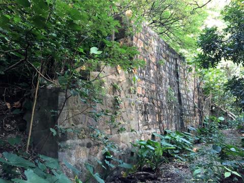
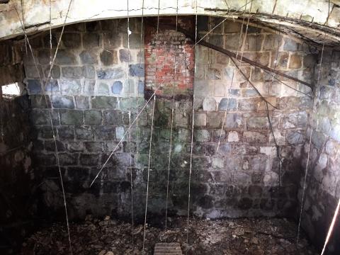
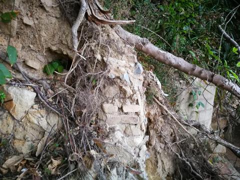
Brick structure
|
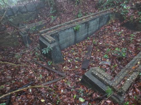
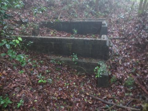
| 2017 |
Double trench
|
| 2017 |
1930's Mount Kellett
|
| 2017 |
First unknown building (south end)
|
| 2017 |
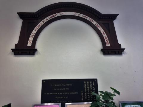
GPO Arch
|
| 2018 |
The protective wall with LL 24 in the distance
|
| 2018 |
Protective wall running down to the reclamation
|
| 2018 |
"r" shaped structure
|
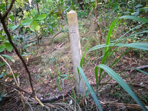
| 2018 |
Pillar with cross
|
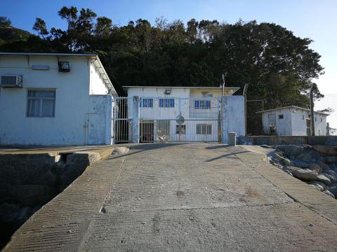
| 2018 |
Sea Cadets Jubilee Centre from the slipway
|
| 2018 |
The roof of LL 24

|
| 2018 |
The blocked ventilation tower
|
| 2018 |
The entrance
|
| 2018 |
The other side
|
| 2018 |
Looking across the inside of the shelter
|
| 2018 |
Internal view of the front of the main room
|
| 2018 |
Machine Gun Position, Tytam Harbour
|
| 2018 |
Ngan Hang Village Machine Gun Positions, north (centre of pic), south (right)
|
| 2018 |
From south mg position looking north (chairman of village welcoming committee circling)
|
| 2018 |
From north mg position looking south
|
| 2018 |
South mg position
|
| 2018 |
North mg position
|
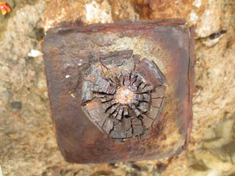
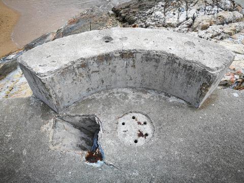
| 2018 |
Hole in south position
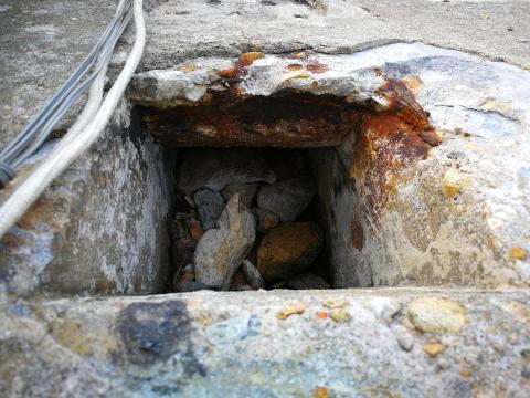
|
| 2018 |
Hole in north platform
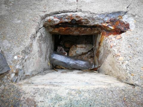
|
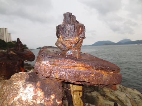
| 2018 |
Rusting bolts at the corner of the north position
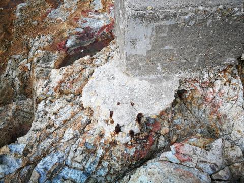
|
| 2018 |
View over the Cemetery Gate
|
| 2018 |
View from top of cemetery
|
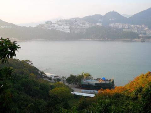
| 2018 |
Stanley Bay from Wong Ma Kok Road
|
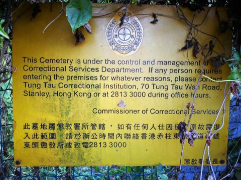
| 2018 |
CSD Cemetery Notice
|
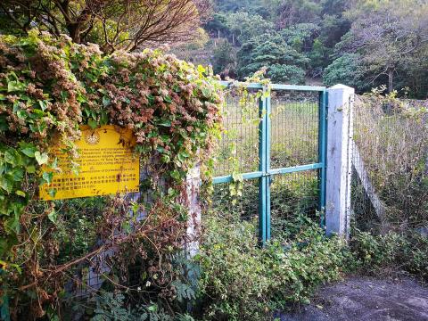
| 2018 |
Cemetery Gate
|
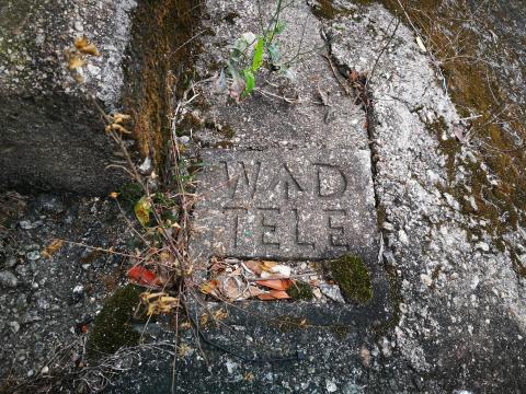
| 2018 |
War Department Marker
|
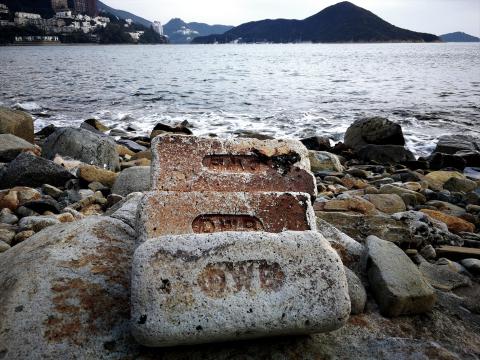
| 2018 |
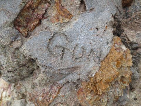
"DWB" bricks
|
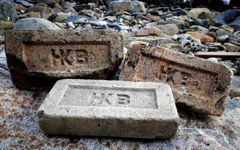
| 2018 |
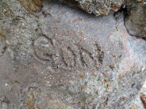
"HKB" bricks
|
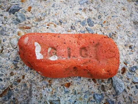
| 2018 |
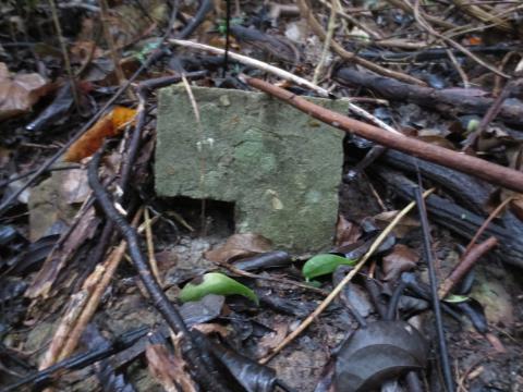
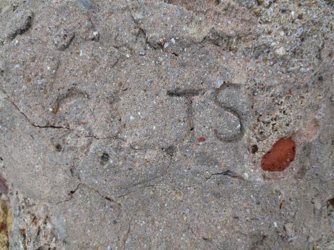
"GIC" brick
|
| 2018 |
View from the beach
|
| 2018 |
View from the left side
|
| 2018 |
Aperture close-up
|
| 2018 |
Inside the aperture
|
| 2018 |
View of left side
|
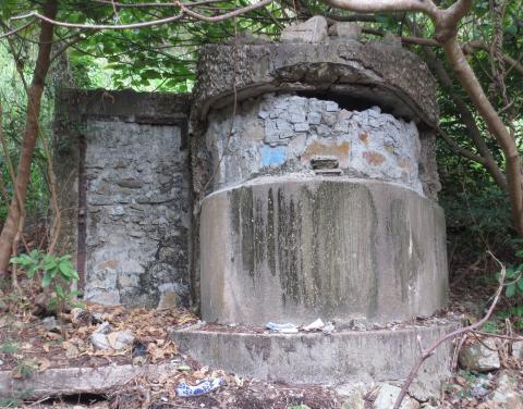
| 2018 |
Looking into silo from above rear.jpg
|
| 2018 |
Silo from the front.jpg
|
| 2018 |
Silage silo near Yar Chee Villas.jpg
|
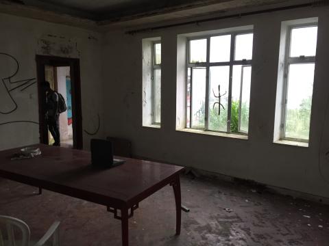
| 2010s |
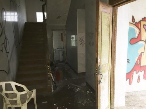
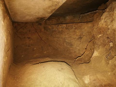
Main Room
|