Skip to main content
Menu
Menu
Home
Free newsletter
Shop
Explore
Add new...
What's new
FAQs
About
Gwulo menu for header
Show — Gwulo menu for header
Hide — Gwulo menu for header
Home
What's new
Gwulo
Old Hong Kong
Cart Flyout
Recent content
Type
Title
Author
Comments
Last updated
Image
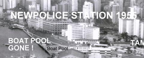
Police Station built 1955
PETERBN
1
1 year 11 months ago
Image
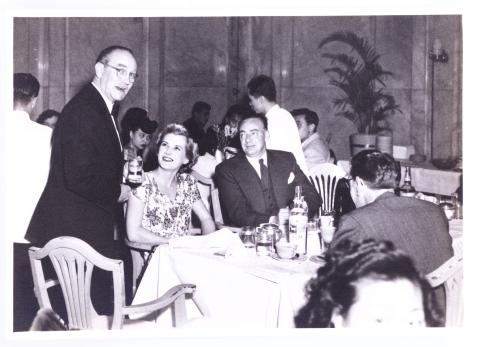
130_People_Cloak_Room_Ground_Floor_HongKong_Hotel.jpg
Lane Crawford
1
1 year 11 months ago
Image
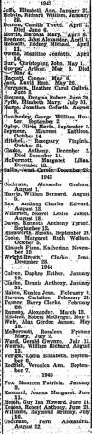
1942-1945 Births at Stanley Internment Camp
moddsey
2
1 year 11 months ago
Image
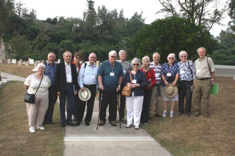
Stanley Camp reunion, December 2015
Admin
3
1 year 11 months ago
Image
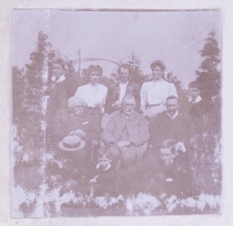
191_People.jpg
Lane Crawford
5
1 year 11 months ago
Image
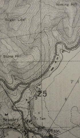
1939 OS Map of Stanley Main Beach
gw
0
1 year 11 months ago
Image
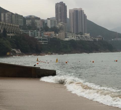
View from Stanley Main Beach
gw
0
1 year 11 months ago
Image
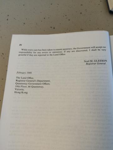
Preface to Index of Streets, House Numbers and Lots in Hong Kong, Kowloon and New Kowloon for 1987 (part 2 of 2)
Doug T.
0
1 year 11 months ago
Image
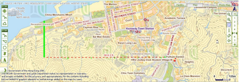
Lines drawn to deduce the location of Victoria's western boundary
Doug T.
0
1 year 11 months ago
Image
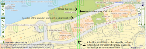
City boundary of Victoria intersects Victoria Road and Sai Ning Street
Doug T.
0
1 year 11 months ago
Image
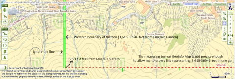
3,615·36946ft from Emerald Garden
Doug T.
0
1 year 11 months ago
Image
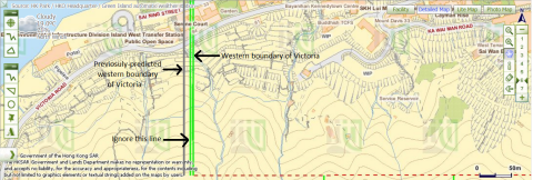
Western boundary of Victoria and previosuly-predicted location of the boundary
Doug T.
0
1 year 11 months ago
Image
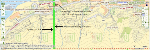
Victoria's western boundary cuts through Serene Court.png
Doug T.
0
1 year 11 months ago
Image
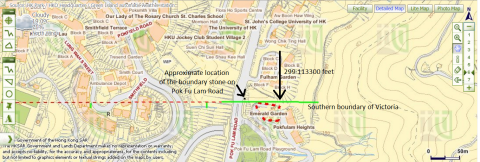
The University of Hong Kong's St John's College and Victoria's southern boundary
Doug T.
0
1 year 11 months ago
Image
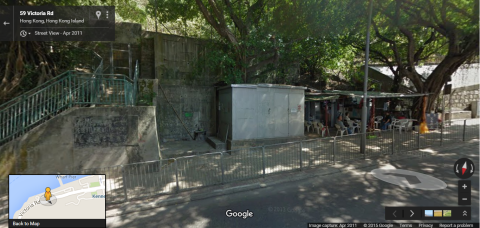
'Shed' which the city boundary of Victoria cuts through on Victoria Road
Doug T.
0
1 year 11 months ago
Image
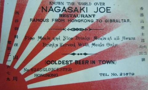
1930s Nagasaki Joe Restaurant Calling Card
moddsey
0
1 year 11 months ago
Image
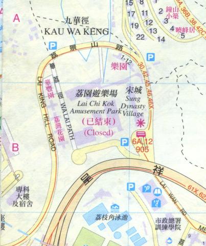
1997 map of Lai Chi Kok
Admin
0
1 year 11 months ago
Image
IMAG-wc1.jpg
Joseph
0
1 year 11 months ago
Image
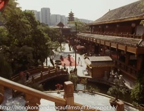
Sung Dynasty Village - Soldier Soldier.jpg
philk
0
1 year 11 months ago
Image
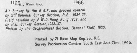
1930 map section
Andrew Suddaby
0
1 year 11 months ago
Image
1930 map section revisions
Andrew Suddaby
0
1 year 11 months ago
Image
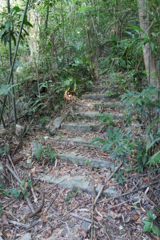
Steps
Admin
0
1 year 11 months ago
Image
Stone wall
Admin
0
1 year 11 months ago
Image
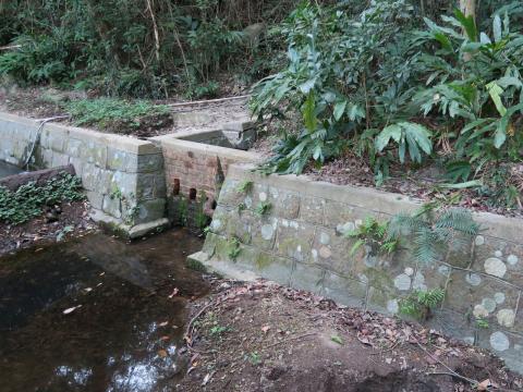
Dam
Admin
0
1 year 11 months ago
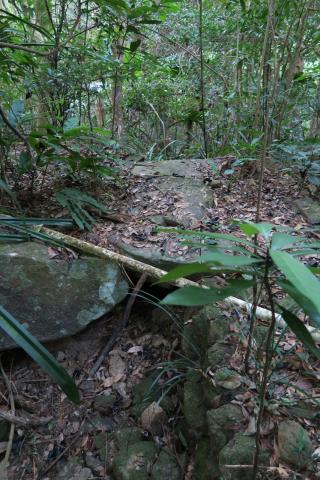
Image
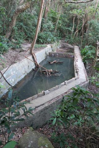
Bridge
Admin
0
1 year 11 months ago
Pagination
First page
« First
Previous page
‹ Previous
…
Page
1112
Page
1113
Page
1114
Page
1115
Current page
1116
Page
1117
Page
1118
Page
1119
Page
1120
…
Next page
Next ›
Last page
Last »