Photos tagged: map
| Year | Title |
|---|---|
| 1842 | 1842 Map of Initial Land Sales in the Colony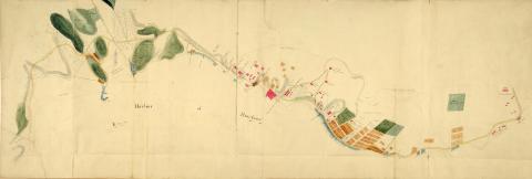
|
| 1843 | Admiralty, 1843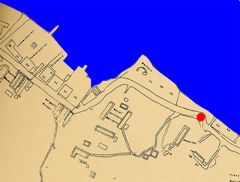
|
| 1843 | HK in 1843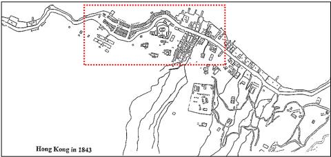
|
| 1843 | HK in 1843 - detail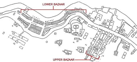
|
| 1844 | Stanley cantonment reduced.jpg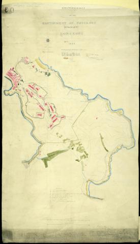
|
| 1845 | 1845 Map of Aberdeen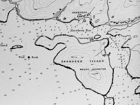
|
| 1845 | 1845 Map of Hong Kong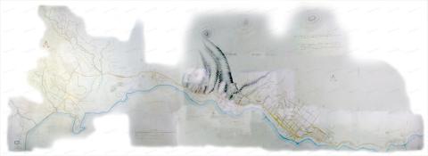
|
| 1845 | 1845 Map (detail) Central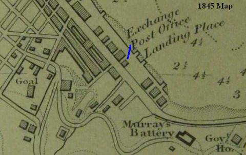
|
| 1845 | 1845 map - Magistracy & Jails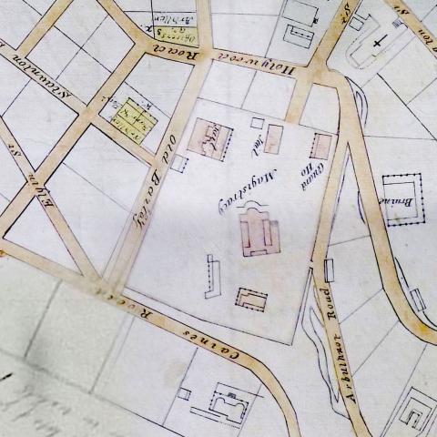
|
| 1845 | Tsim Sha Tsui sketch based on 1845 Collinson map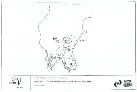
|
| 1845 | 1845 - Developed Marine Lots, Central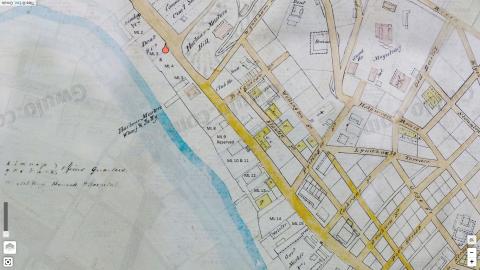
|
| 1845 | 1845 Causeway Bay map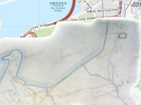
|
| 1845 | 1845 Map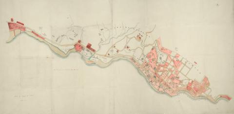
|
| 1845 | 1845 Belcher.jpg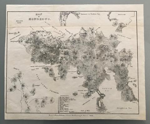
|
| 1845 | 1845 map 00.JPG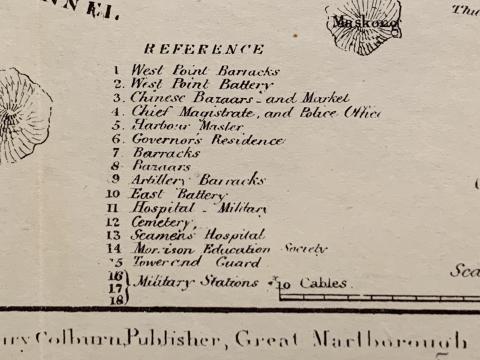
|
| 1845 | 1845 map 01.JPG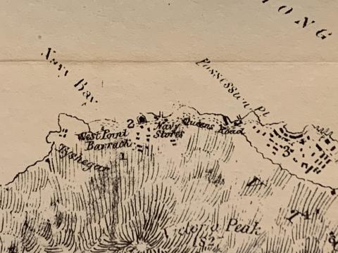
|
| 1845 | 1845 map 02.JPG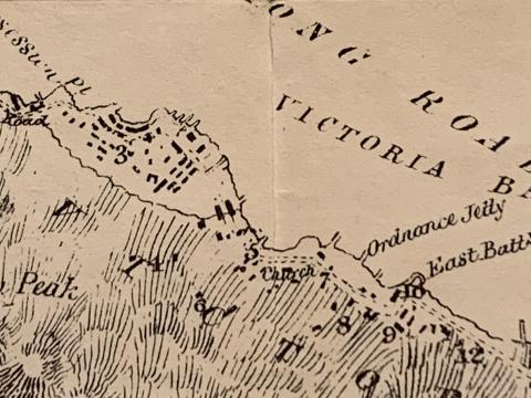
|
| 1845 | 1845 map 03.JPG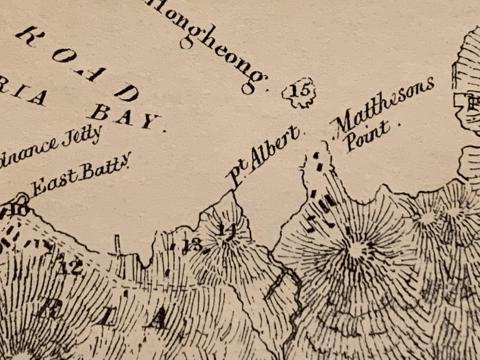
|
| 1845 | 1845 map 04.JPG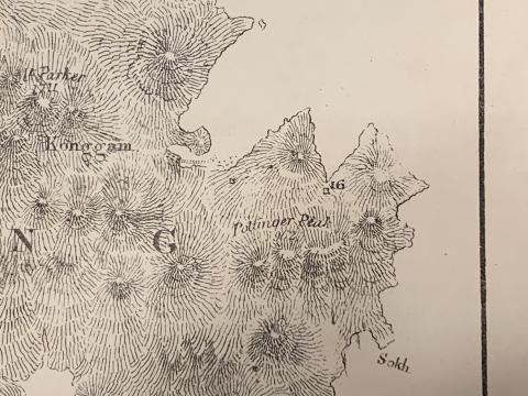
|
| 1845 | 1845 map 05.JPG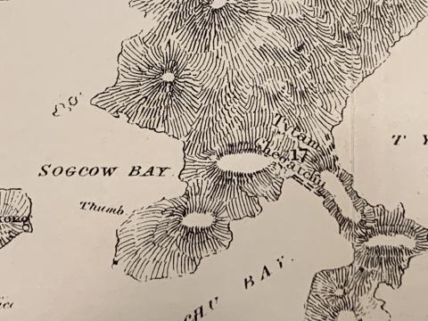
|
| 1845 | 1845 map 06.JPG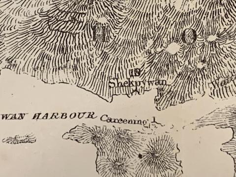
|
| 1845 | 1845 map 07.JPG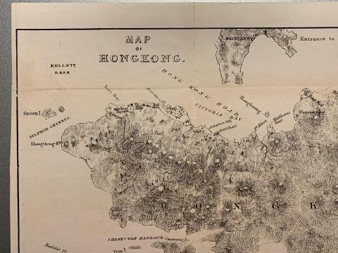
|
| 1845 | 1845 map 08.JPG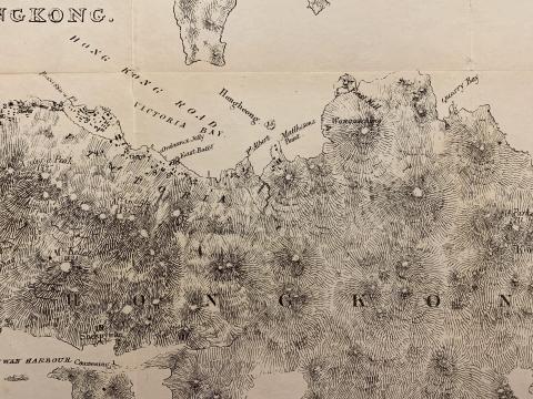
|
| 1845 | 1845 map, Pok Fu Lam to Central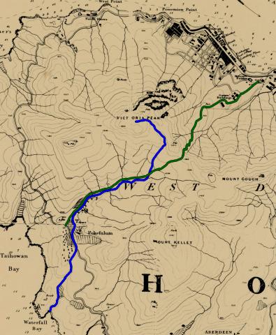
|
| 1845 | City of Victoria map 1845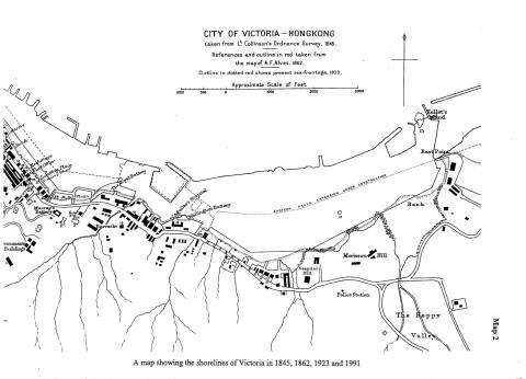
|