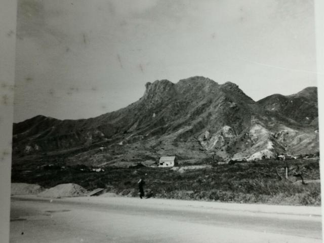
Greetings. The road was wide and the area fairly flat, so I believe it was also straight extending in both directions. Several old maps show a straight road; one dated 1934 shows Po Kong north of it and Aerodrome south of it. It would be south of today's Rhythm Garden. Correction and discussion welcome. Regards, Peter
Comments
Lion Rock - Camera Location
Greetings. The road was wide and the area fairly flat, so I believe it was also straight extending in both directions. Several old maps show a straight road; one dated 1934 shows Po Kong north of it and Aerodrome south of it. It would be south of today's Rhythm Garden. Correction and discussion welcome. Regards, Peter