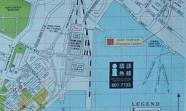
A detail from a 1990 tourist map shown Hung Hom Bay. On the eastern sideare two ferry terminals. Although the copy isn't really good, it can be read that the ferry lines on the north-western pier go to Wan Chai and North point, and from the south-eastern one to Central.
The ternimal on the western side has no information on ferry connections.
Date picture taken
1990s
Gallery