Thank you to Martyn Gregory for sharing these old photos of Mid-levels with us. They were taken in the late 1800s.
You can click on any photo to visit its page. There you can zoom in to see more detail, read any notes about the photo, and add a comment about where and when it was taken.
The photos come from several albums of photos, probably bought as souvenirs of visits to Hong Kong. Professional photographers offered a selection of popular views. Customers could choose the photos they liked, and have them mounted in an album.
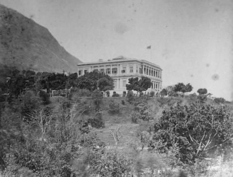
Government House and the nearby Botanical Gardens (then called the "Public Gardens") were both popular choices. Here's a view looking up at Government House, with the slopes of the Peak in the background:
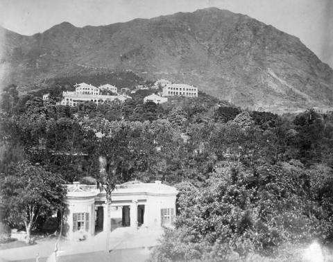
For the next photo we've moved inside Government House. We're looking out from the upper floor, with the gatehouse in the foreground and the Botanical Gardens on the hillside above. If you look closely, you can see the Gardens' fountain among the trees:
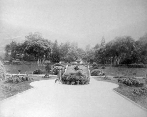
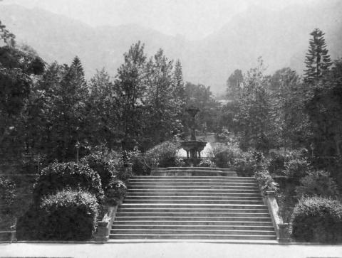
Next are several photos taken in the Gardens, starting with the main entrance and moving round to the fountain:
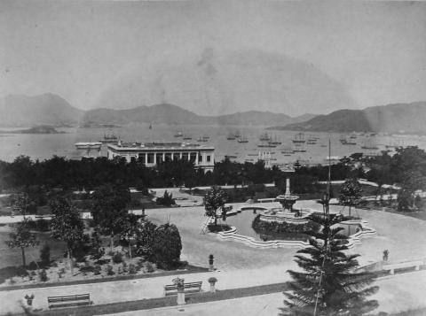
If you walk up past the fountain and turn around, you'd see this view down to Government House and the harbour:
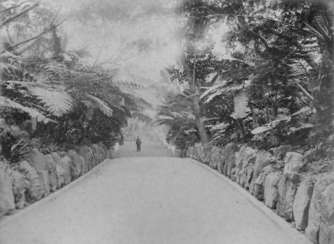
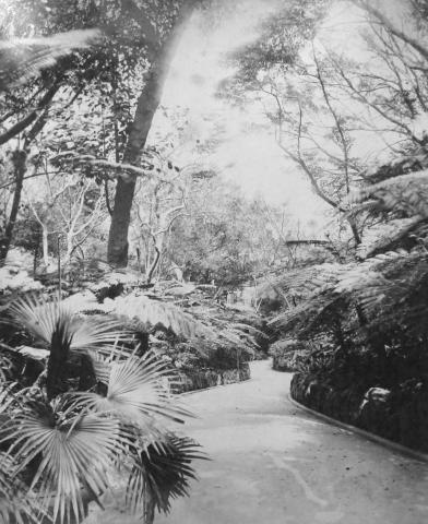
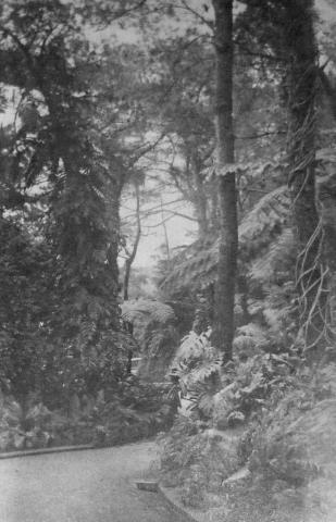
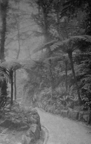
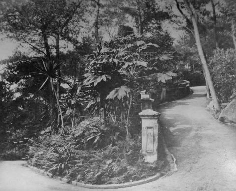
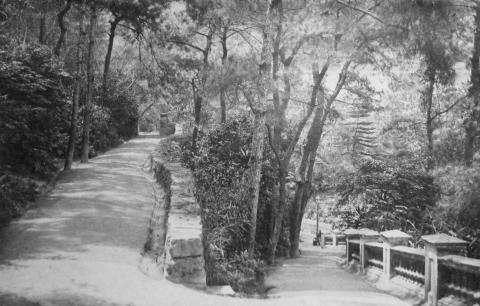
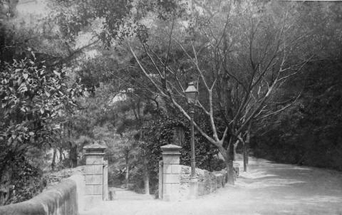
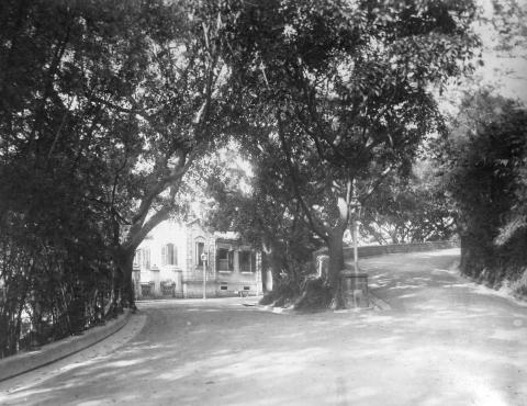
The next few photos are titled "Walks above Town". That could include Glenealy, which was considered a pretty spot for a walk among the ferns, but I guess these were also taken in the Botanical Gardens:
I'll post the next three photos with the captions given on their album pages. There's no doubt about the first one, but the other two look suspiciously like they lead to or from the Botanical Gardens as well!
"Road leading to the Public Garden"
"Looking towards Robinson Rd."
"Robinson Road"
Finally, we escape from the Gardens. This photo shows the junction of Upper Albert and Albany Roads, with College Gardens in the background:
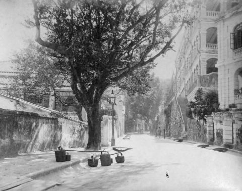
The last photo isn't one that I recognise. If you can identify it, please could you let us know in the comments below?
Thanks again to Martyn for sharing these photos from his private collection.
Martyn is a specialist in 'China Trade' paintings and pictures related to the Far East: that is, works of the period 1700-1900, by both Western artists and Chinese artists who painted 'in the Western manner' for the traders and ships' officers who visited the China coast. You can learn more at: http://www.martyngregory.com/
|
Also on Gwulo.com this week:
|
Comments
Last Photo - Arbuthnot Road
The last photo is Arbuthnot Road, taken looking up toward the junction with Caine.
The retaining wall on the right hand side of the photo with the stairs running down still exist, bar a coat of concrete they look unchanged today. The wall on the uphill side of the Stairs also looks exactly the same. They now support Cordial Mansion on Caine Road. The base of the pillar at the bottom of the stairs is also still there.
The building in the right foreground is now the Universal Trade Centre at the Junction on Chancery lane and Arbuthnot.
Here is a Google street view that shows the retaining walls today
https://www.google.com/maps/@22.280193,114.154556,3a,57.8y,203.35h,91.38t/data=!3m4!1e1!3m2!1sfEUigFDG5ad12bA4BVfrlg!2e0
The two buildings also appear in this shot up Pedder street taken in 1886 just below and to the right of the clock face.
http://gwulo.com/atom/20603
I can't make out if they are there in the 1870 version.
http://gwulo.com/atom/13051
Does anyone know what these buildings were?
re: Last Photo - Arbuthnot Road
That's a good match, thanks for identifying this one. Good to see there is even part of the pillar at the bottom of the stairs that has survived well over 100 years!
I've made a Place for the building at http://gwulo.com/node/24190 to gather any more information about it.
Regards, David
PS Where you say left above, do you mean right?
re: Last Photo - Arbuthnot Road
Thanks David, I have corrected left and right in my comment.
I've had an extremely productive day at work identifying more pictures of the building which I'll post in the Place section. Still no information on who built/owned/lived in them.
Dates for the big building on Lot 141 would be 1846 – 1946
Lot 65 would be 1860’s – 1950 ish